


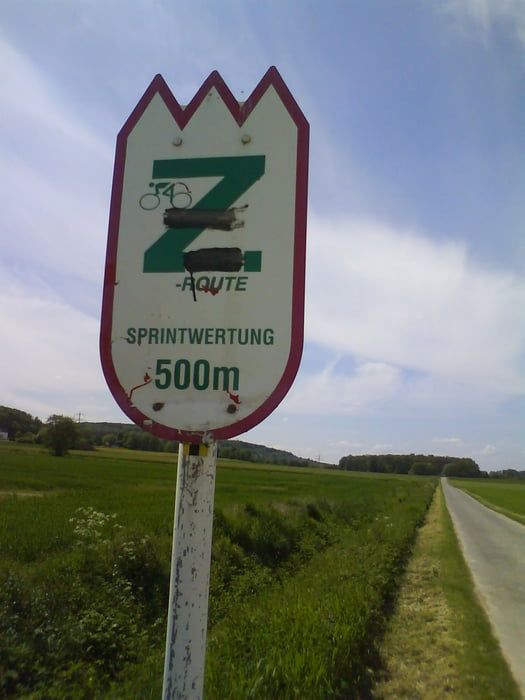
Start ist in Hagen-Wehringhausen, es geht dann Richtung HA-Helfe, weiter Richtung IS-Hennen und Fröndenberg. Hier startet die Zabel-Runde. Diese ist auch ausgeschildert (natürlich ein grünes Z) Eine lockere Runde. Diese verlassen wir wieder und über mehrere kleine Dörfchen gehts über Grünmannsheide und Berchum wieder nach Hagen. Sehr schöne Trainingsfahrt. Die Strassenbeläge sind teils sehr gut und teilweise nicht so...
Tour gallery
Tour map and elevation profile
Minimum height 82 m
Maximum height 284 m
More about the tour author
|
|
Ghostrocker |
Comments

A1 Ausfahrt HA-west Richtung HBF => Wehringhausen
GPS tracks
Trackpoints-
GPX / Garmin Map Source (gpx) download
-
TCX / Garmin Training Center® (tcx) download
-
CRS / Garmin Training Center® (crs) download
-
Google Earth (kml) download
-
G7ToWin (g7t) download
-
TTQV (trk) download
-
Overlay (ovl) download
-
Fugawi (txt) download
-
Kompass (DAV) Track (tk) download
-
Track data sheet (pdf) download
-
Original file of the author (gpx) download
More about the tour author
|
|
Ghostrocker |
Add to my favorites
Remove from my favorites
Edit tags
Open track
My score
Rate