Login

Forgot your login?

Cookies have to be accepted!
Your browser's cookie functionality is disabled. Please enable this functionality.

Not a member yet?

Register now
Login

Available for registred users only

Log in to use this feature.

Forgot your login?

Cookies have to be accepted!
Your browser's cookie functionality is disabled. Please enable this functionality.

Not a member yet?

Register now
Filter
Categories
Advanced filters
  • Distance (km)
  • Height
Save filters Reset filter

TrackRank

QRCode

Technical data

Distance62,1 km Height695 m Way down684 m Duration02:30 h:m Date30.05.2010
Scores Author User Landscape Fun factor Fitness Technique

Statistics

376 Views 4 Scores 65 Downloads 4.50 Average
Rate
  • Track data sheet
  • Directions
  • Downloads

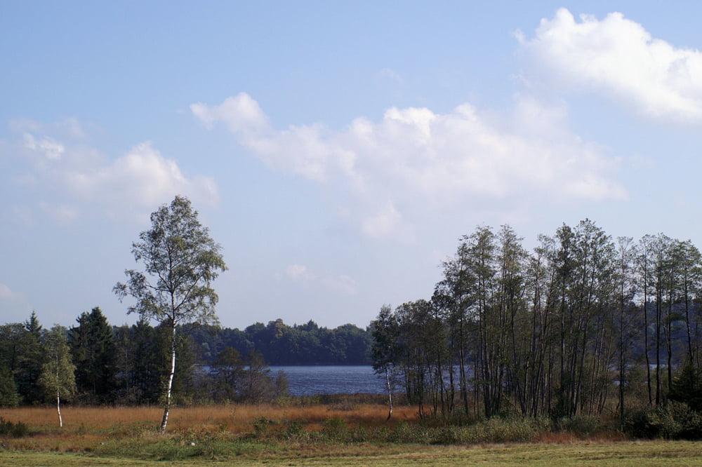
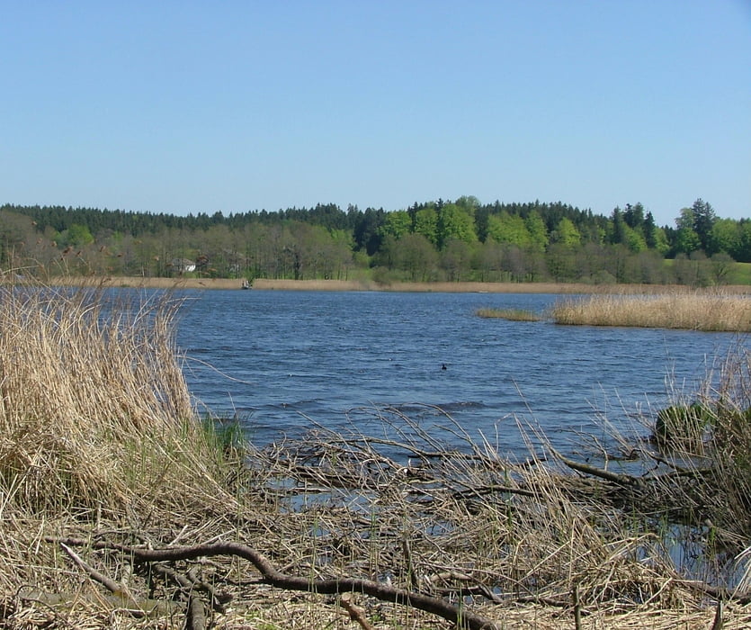
Schöne Rundtour von Amtzell durchs württembergische Allgäu. Auf die Länge von 400m Waldweg. Ansonsten immer sehr einsame Strassen.

Tour gallery

Tour map and elevation profile

  • Open Street Map
  • Google
Minimum height 528 m Maximum height 684 m Detailed view

More about the tour author

wl_michael
Member since 2009

Send private message

Comments

Arapaho on 22.09.2010

Rundtour Amtzell

sehr schöne Tour - hat Spass gemacht sie zu fahren
Allora423 on 24.11.2012

Rundtour Amtzell

Wir sind die Runde heute gefahren (23.11.2012)
Es war geradezu genial. Die Tour ist wirklich sehr gut ausgesucht. Vor allem ist sehr schön, dass man immer den Eindruck hat in der Höhe zu fahren. Dadurch tolle Weitblicke in die Alpen.
Für Auswärtige ein absolutes Muss.
siddhartha_07 on 25.08.2016

Rundtour Amtzell

Geniale Tour auf sehr ruhigen Straßen mit traumhaftem Ausblick auf die Berge. Das kurze Stück Schotterstraße fällt bei dieser Traumtour nicht ins Gewicht. Wird sicherlich gerne nochmals gefahren.

88279 Amtzell

GPS tracks

Trackpoints
  • GPX / Garmin Map Source (gpx) download
  • TCX / Garmin Training Center® (tcx) download
  • CRS / Garmin Training Center® (crs) download
  • Google Earth (kml) download
  • G7ToWin (g7t) download
  • TTQV (trk) download
  • Overlay (ovl) download
  • Fugawi (txt) download
  • Kompass (DAV) Track (tk) download
  • Track data sheet (pdf) download
  • Original file of the author (gpx) download

More about the tour author

wl_michael
Member since 2009

Send private message
Share track
Add to my favorites
Remove from my favorites
Edit tags
My score
Rate
Track: Rundtour Amtzell durchs würtembergische Allgäu
Type: Road biking
Distance: 62,1 km
Evaluated on:
Duration:
Day(s)
Hour(s)
Minute(s)
Score: Landscape Fun factor Fitness Technique