


Die Tour startet direkt an der Hauptstraße welche durch Kappl Richtung Ischgl führt, und führt erstmal durch das Dorf auf Teerstraße welche bald in Schotter übergeht und es immer relativ leicht den Berg zur Diasalp hochgeht wo man einkehren kann, bzw man kann so wie ich noch etwas weiter fahren und oberhalb der Diasalp auch einkehren, an meinem Wendepunkt. Danach geht es gemütlich wieder bis kurz oberhalb der Diasalp zurück und dann links auf einen anderen Weg der auch gut ausgebaut ist wieder runter wo man dann in Kappl wieder ankommt und durchs Dorf wieder zurück zum Parkplatz kommt.
Leichte Tour die man mal am Abend schnell fahren kann oder zum Abschluß vom Urlaub so wie ich.
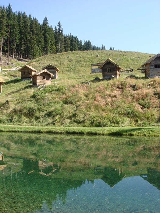
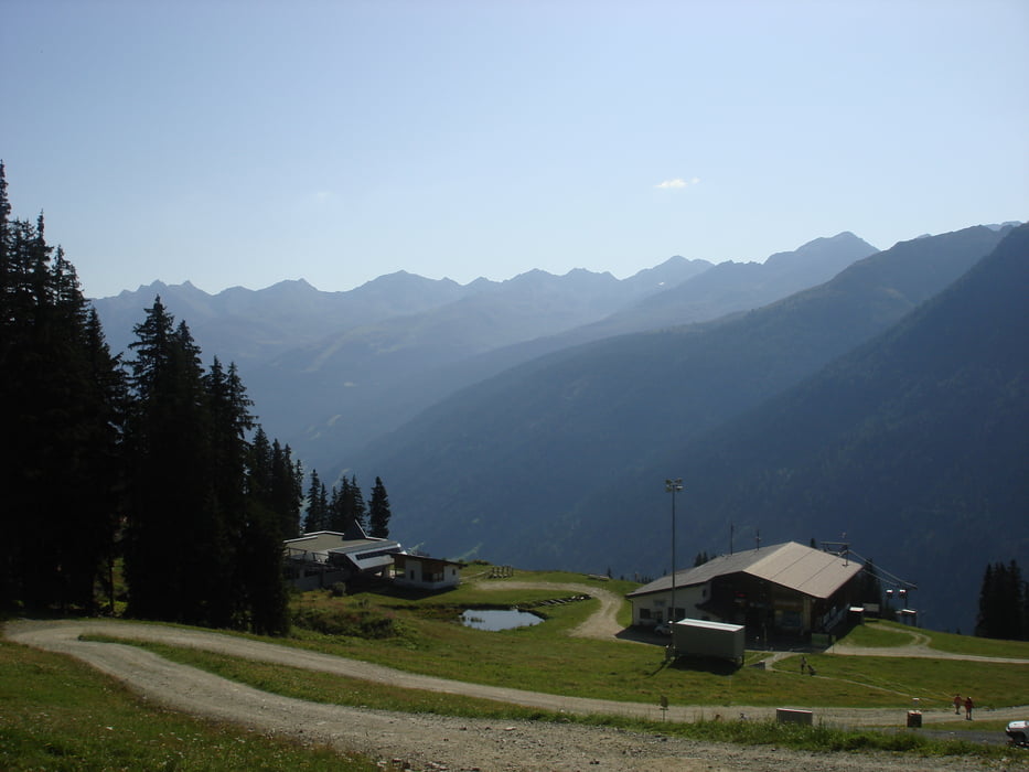
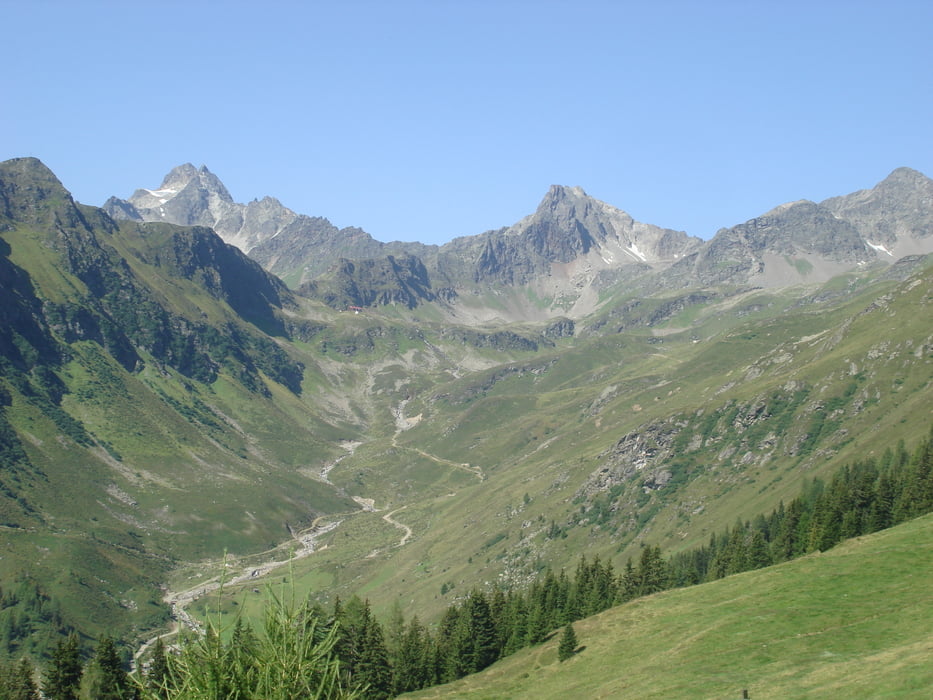
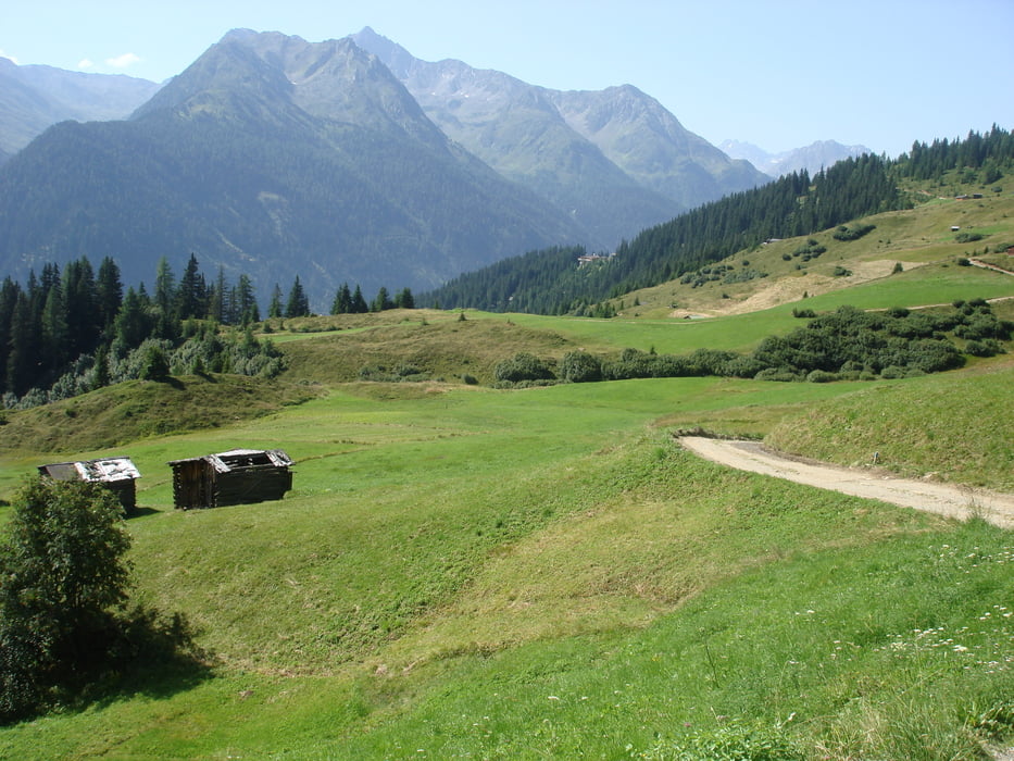
Tour gallery
Tour map and elevation profile
Minimum height 1179 m
Maximum height 2098 m
More about the tour author
|
|
drossi |
Comments

Autobahn A12 Richtung Zams/Landeck, dann auf der S16/E60 bis Pians und dann links Richtung Galltür/Ischgl/Kappl (Silvrette Straße).
GPS tracks
Trackpoints-
GPX / Garmin Map Source (gpx) download
-
TCX / Garmin Training Center® (tcx) download
-
CRS / Garmin Training Center® (crs) download
-
Google Earth (kml) download
-
G7ToWin (g7t) download
-
TTQV (trk) download
-
Overlay (ovl) download
-
Fugawi (txt) download
-
Kompass (DAV) Track (tk) download
-
Track data sheet (pdf) download
-
Original file of the author (gpx) download
More about the tour author
|
|
drossi |
Add to my favorites
Remove from my favorites
Edit tags
Open track
My score
Rate