


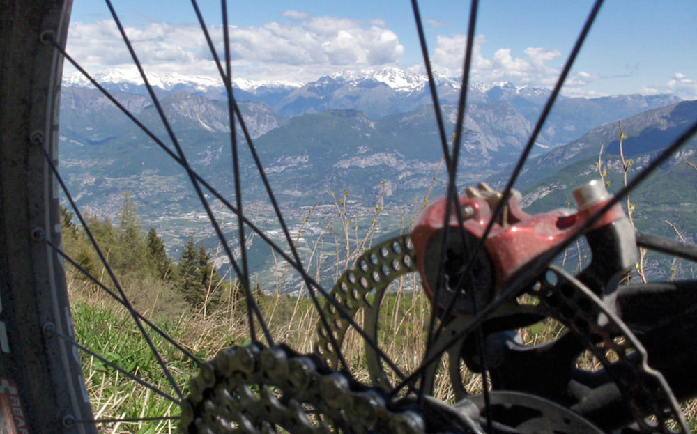
Neben dem Tremalzo ein weiterer Klassiker am Gardasee, der Altissimo.
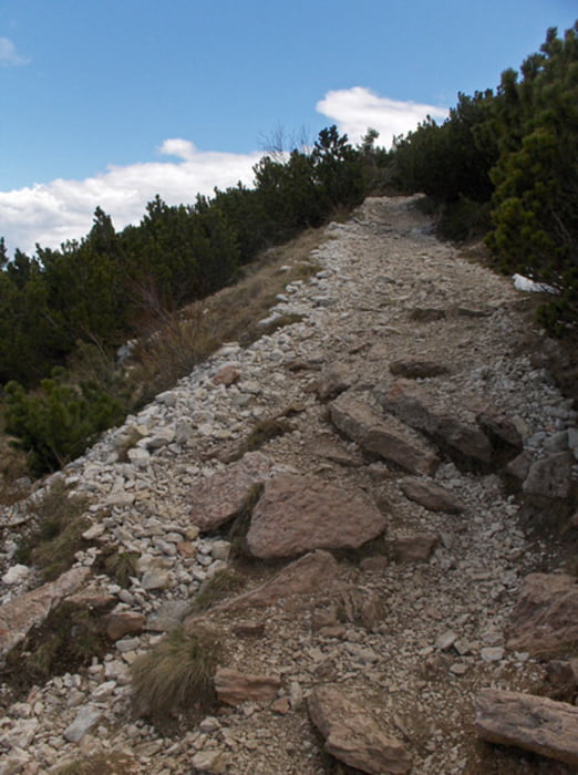
Nach stundenlangem Asphaltuphill auf der Strada del Monte Baldo kommts oben nochmal knüppeldick.
Erst Schieben, dann Tragen. Anders kommt man auf dieser Route nicht rauf auf den Gipfel.
Aber. Die Sache ist es wert. Ist man einmal oben, auf dem Dach des Gardasees, ist die Plagerei des Uphills gleich wieder vergessen.
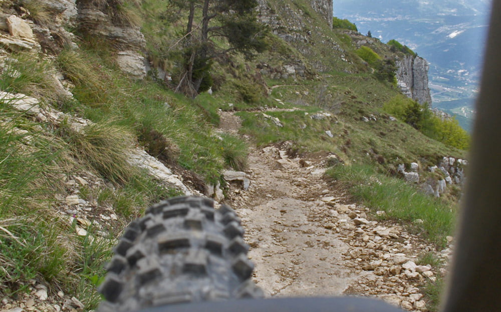
Und. Der Downhill über die Sentieros 622 und 650 entschädigt für die vorangegangenen Strapazen.
Auf meiner Homepage gibt es einen kurzen Bericht und viele Fotos. Link, siehe unten.
Viel Spaß beim Stöbern und beim Biken.
Further information at
http://www.alpenx-xl.de/2010/10_altissimo/10altissimo.phpTour gallery
Tour map and elevation profile
Minimum height 68 m
Maximum height 2071 m
More about the tour author
|
|
AlpenX-XL.de |
Comments
GPS tracks
Trackpoints-
GPX / Garmin Map Source (gpx) download
-
TCX / Garmin Training Center® (tcx) download
-
CRS / Garmin Training Center® (crs) download
-
Google Earth (kml) download
-
G7ToWin (g7t) download
-
TTQV (trk) download
-
Overlay (ovl) download
-
Fugawi (txt) download
-
Kompass (DAV) Track (tk) download
-
Track data sheet (pdf) download
-
Original file of the author (gpx) download
More about the tour author
|
|
AlpenX-XL.de |
Add to my favorites
Remove from my favorites
Edit tags
Open track
My score
Rate
SUPER
Schöne Tour
Auch super Berichterstattung und Bilder auf der Hompage.
:-)))
Danke