Login

Forgot your login?

Cookies have to be accepted!
Your browser's cookie functionality is disabled. Please enable this functionality.

Not a member yet?

Register now
Login

Available for registred users only

Log in to use this feature.

Forgot your login?

Cookies have to be accepted!
Your browser's cookie functionality is disabled. Please enable this functionality.

Not a member yet?

Register now
Filter
Categories
Advanced filters
  • Distance (km)
  • Height
Save filters Reset filter

TrackRank

QRCode

Technical data

Distance16,3 km Height1208 m Way down1184 m Duration07:00 h:m Date31.05.2010
Scores Author User Landscape Fun factor Fitness Technique

Statistics

8120 Views 1 Score 140 Downloads 4.00 Average
Rate
  • Track data sheet
  • Directions
  • Downloads

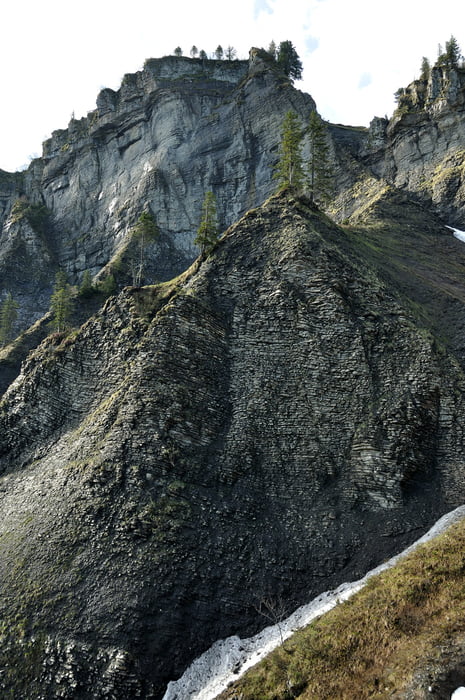
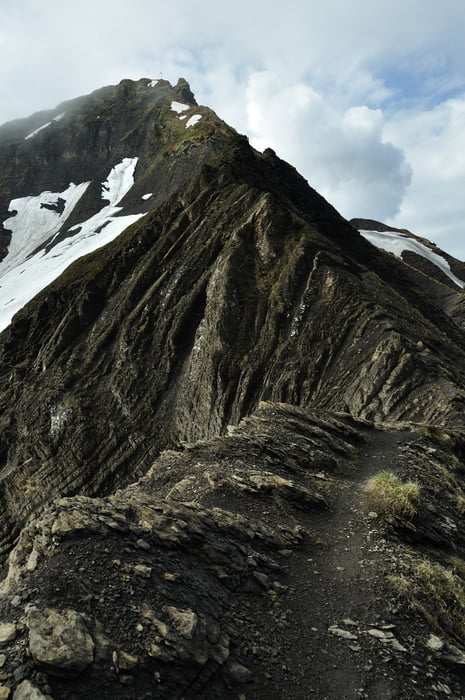
Ebnit - Sattelalpe - Unt. Fluralpe - Binnelalpe - Binnelgrat ( alpiner Steig, nur für Geübte ) - Hoher Freschen

Hoher Freschen - Valüragrat - Valorsalpe - Ebniter Tal - Ebnit

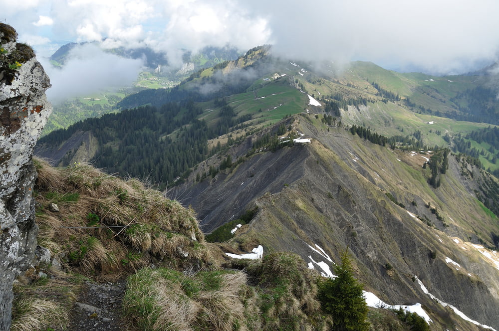
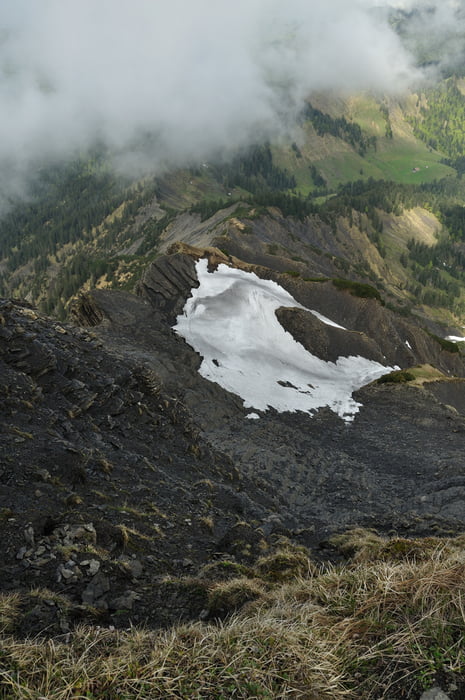
recht abwechslungsreiche Bergtour in interessanter Landschaft.

Tour gallery

Tour map and elevation profile

  • Open Street Map
  • Google
Minimum height 902 m Maximum height 2005 m Detailed view

More about the tour author

Axel_N
Member since 2008

Send private message

Comments

skyhopper on 06.06.2010

Schwindelfreiheit am Binnelgrat erforderlich

Hallo, das ist eine tolle Tour. Ich denke man sollte unbedingt erwähnen, daß der Binnelgrat ein alpiner Steig ist und Schwindelfreiheit erfordert. Ich kenne Leute die da deswegen schon umgedreht haben. Zur Abschreckung fände ich Technik 4* angemessener. Gruß aus dem Allgäu

 Bregenz - Dornbirn - Ebnit

GPS tracks

Trackpoints
  • GPX / Garmin Map Source (gpx) download
  • TCX / Garmin Training Center® (tcx) download
  • CRS / Garmin Training Center® (crs) download
  • Google Earth (kml) download
  • G7ToWin (g7t) download
  • TTQV (trk) download
  • Overlay (ovl) download
  • Fugawi (txt) download
  • Kompass (DAV) Track (tk) download
  • Track data sheet (pdf) download
  • Original file of the author (gpx) download

More about the tour author

Axel_N
Member since 2008

Send private message
Share track
Add to my favorites
Remove from my favorites
Edit tags
My score
Rate
Track: Ebnit - Hoher Freschen
Type: Mountain hiking
Distance: 16,3 km
Evaluated on:
Duration:
Day(s)
Hour(s)
Minute(s)
Score: Landscape Fun factor Fitness Technique