


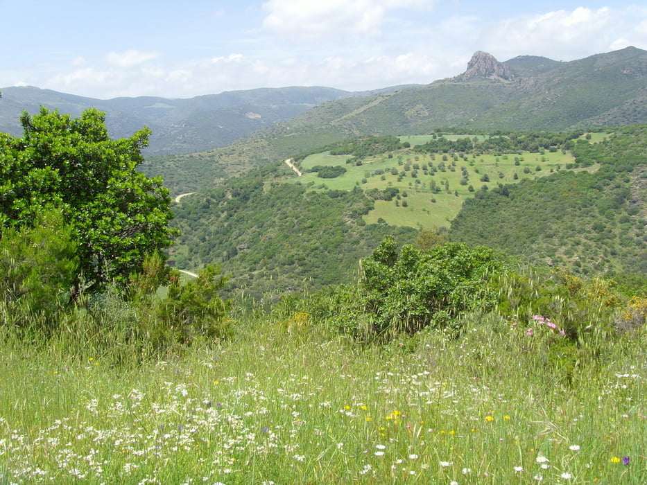
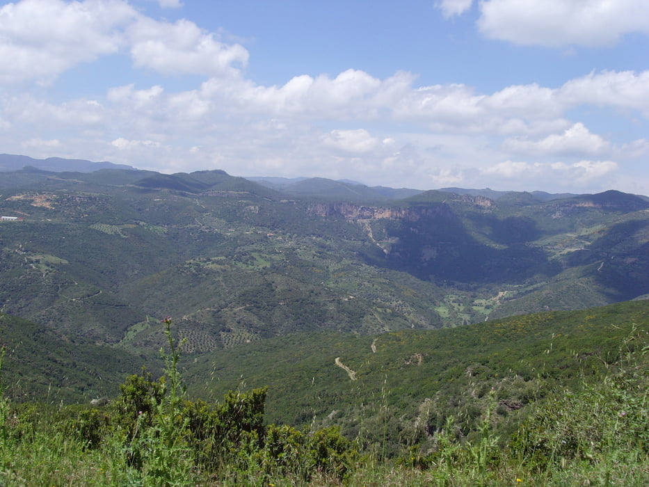
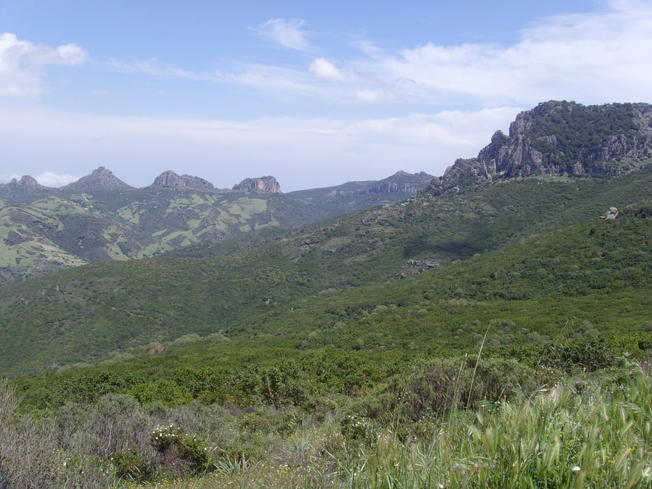
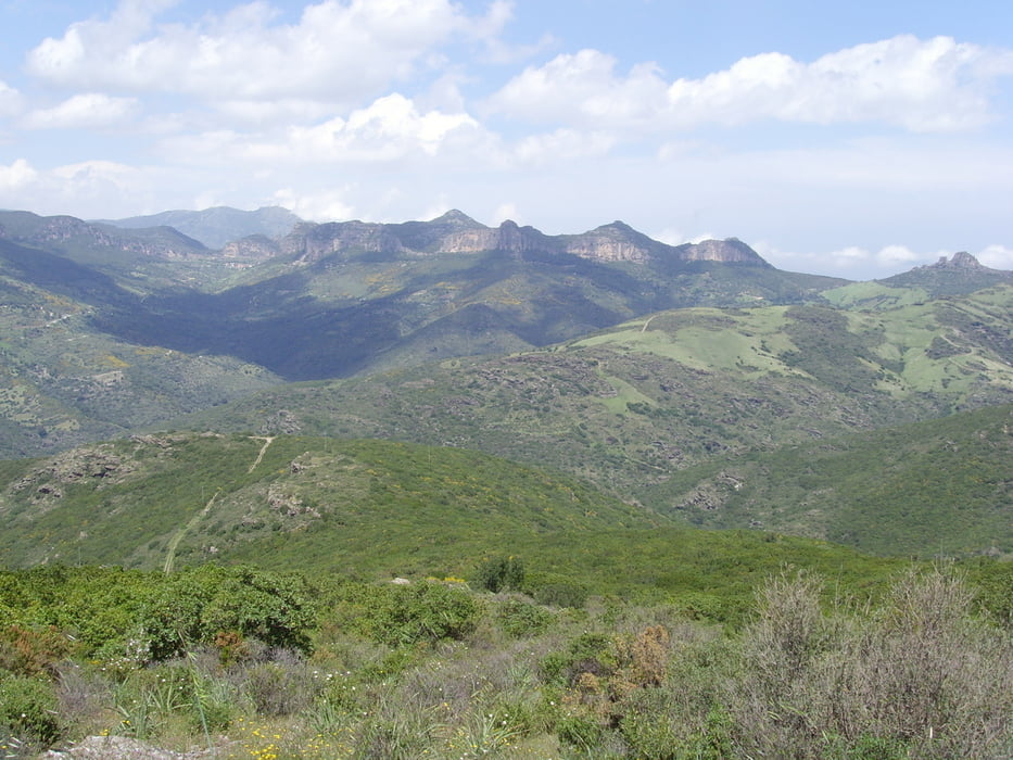
Es sind zwar nur 13 km auf Schotterpiste ohne fahrtechnischen Anspruch und der Rest kaum befahrene Straße, dafür entschädigt das grandiose Panorama auf der gesamten Tour. Die Forststraße ist mit einem Metallgatter verschlossen, welches jedoch geöffnet werden kann und auch darf. Die Durchfahrt ist erlaubt. Insgesamt eine Super-Tour, die den Vergleich mit den Alpen nicht zu scheuen braucht.
Tour gallery
Tour map and elevation profile
Minimum height 371 m
Maximum height 858 m
More about the tour author

|
raggi |
Comments

In der Ortschaft Ulassai der Beschilderung zur Grotte Su Marmori folgen und auf dem dortigigen Wanderparkplatz parken. Wer sich 100 Höhenmeter sparen will, parkt beim Abzweig nach St. Barbara an einer Bar. Der Wanderparkplatz eignet sich übrigends hervorragend als Wohnmobilübernachtungsplatz.
GPS tracks
Trackpoints-
GPX / Garmin Map Source (gpx) download
-
TCX / Garmin Training Center® (tcx) download
-
CRS / Garmin Training Center® (crs) download
-
Google Earth (kml) download
-
G7ToWin (g7t) download
-
TTQV (trk) download
-
Overlay (ovl) download
-
Fugawi (txt) download
-
Kompass (DAV) Track (tk) download
-
Track data sheet (pdf) download
-
Original file of the author (gpx) download
More about the tour author
|
|
raggi |
Add to my favorites
Remove from my favorites
Edit tags
Open track
My score
Rate