


Immer wiederschön im Grunewald zu fahren.
Das habe ich in den letzten Jahren viel zu selten getan. Jetzt brauch ih wieder Kondition.
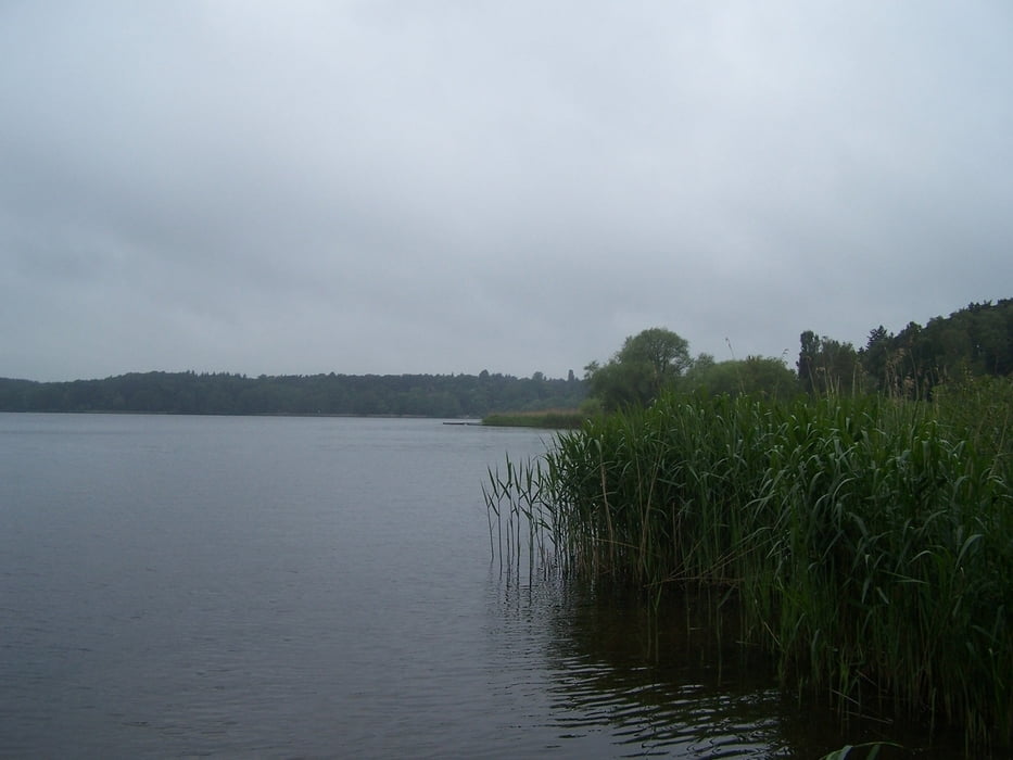
Wenn es regnet können Baumwurzeln etwas unangenehm werden. Die Zuckersandstrecken fahren sich aber bedeutend besser wenn es nass ist. Entsprechend schaut das Bike aus.
Am alten Forsthaus kann Trinkwasser an einem Brunnen nachgetankt werden.
Schön war es trotzdem.
Further information at
http://www.stadtentwicklung.berlin.de/forsten/ausflugstipps/de/2006/oktober.shtmlTour gallery


Tour map and elevation profile
Minimum height 27 m
Maximum height 95 m
More about the tour author
|
|
Pheinz |
Comments

Parkplatz am Hüttenweg.
Anschlußstelle Hüttenweg an der AVUS.
GPS tracks
Trackpoints-
GPX / Garmin Map Source (gpx) download
-
TCX / Garmin Training Center® (tcx) download
-
CRS / Garmin Training Center® (crs) download
-
Google Earth (kml) download
-
G7ToWin (g7t) download
-
TTQV (trk) download
-
Overlay (ovl) download
-
Fugawi (txt) download
-
Kompass (DAV) Track (tk) download
-
Track data sheet (pdf) download
-
Original file of the author (gpx) download
More about the tour author
|
|
Pheinz |
Add to my favorites
Remove from my favorites
Edit tags
Open track
My score
Rate