


Tag 2:
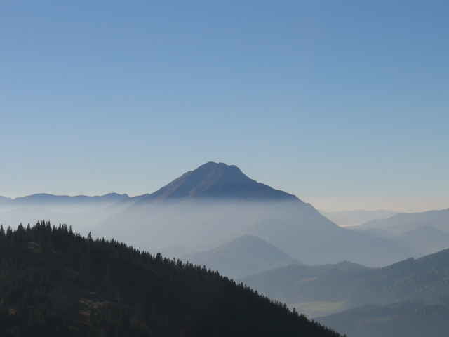
Hoffentlich gestärkt und ausgeruht geht's am 2. Tag gleich weiter. Wenn man auf der Herrenalm übernachtet hat braucht man ca. 5 Stunden bis zum Ötscher-Schutzhaus, von der Ybbstalerhütte aus sind es nochmals 3 1/2 Stunden mehr. Man marschiert von der Herrenalm aus zuerst hinab zur Bundesstraße (zwischen Lunz und Mariazell) und dann hinauf auf den Ötscher über den Riffelsattel. Kurz vorm Riffelsattel hat man nen tollen Blick in die Ötschergräben. Wer noch Lust hat kann bis zum Gipfel marschieren, oder einfach bei der Hütte einkehren und zu Fuß oder per Lift zurück ins Tal nach Lackenhof, wo hoffentlich ein Auto wartet.
Weitere Touren auf meiner HP:
http://free.pages.at/frankie77
Further information at
http://www.oetk-scheibbs.at/index_alpintour.htmTour gallery
Tour map and elevation profile
Minimum height 699 m
Maximum height 1468 m
More about the tour author

|
Comments

2 Autos erforderlich
Das 1. Auto wird in Lackenhof am Fuße des gr. Ötschers abgestellt, danach Weiterfahrt mit dem 2. Auto auf's Hochkar zu den Lift-Talstationen (Mautstraße)
Das 1. Auto wird in Lackenhof am Fuße des gr. Ötschers abgestellt, danach Weiterfahrt mit dem 2. Auto auf's Hochkar zu den Lift-Talstationen (Mautstraße)
GPS tracks
Trackpoints-
GPX / Garmin Map Source (gpx) download
-
TCX / Garmin Training Center® (tcx) download
-
CRS / Garmin Training Center® (crs) download
-
Google Earth (kml) download
-
G7ToWin (g7t) download
-
TTQV (trk) download
-
Overlay (ovl) download
-
Fugawi (txt) download
-
Kompass (DAV) Track (tk) download
-
Track data sheet (pdf) download
-
Original file of the author (gpx) download
More about the tour author
|
|
Add to my favorites
Remove from my favorites
Edit tags
Open track
My score
Rate