


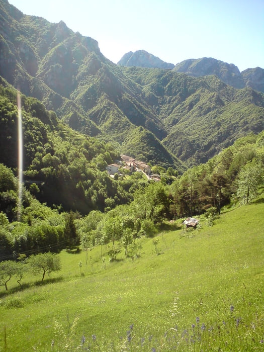
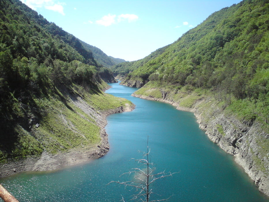
Die Tour startet in San Felice am Gardasee. Von dort in Richtung Idrosee. Auf dem Weg in Vobarno in Richtug Eno abbiegen. Nun eine hundert Höhenmeter auf einer schmalen, teilweise mit schlechtem Teer asphaltierten Straße zum Passo Fobbia. Nun wieder hinunterfahren in Richtung Capovalle. Hier ins Valvestino abbiegen und am Stausee entlang wieder hinunter zum Gardasee und zum Ausgangspunkt.
Further information at
http://de.wikipedia.org/wiki/Sal%C3%B2Tour gallery


Tour map and elevation profile
Minimum height 66 m
Maximum height 1085 m
More about the tour author

|
Struwe |
Comments

GPS tracks
Trackpoints-
GPX / Garmin Map Source (gpx) download
-
TCX / Garmin Training Center® (tcx) download
-
CRS / Garmin Training Center® (crs) download
-
Google Earth (kml) download
-
G7ToWin (g7t) download
-
TTQV (trk) download
-
Overlay (ovl) download
-
Fugawi (txt) download
-
Kompass (DAV) Track (tk) download
-
Track data sheet (pdf) download
-
Original file of the author (gpx) download
More about the tour author
|
|
Struwe |
Add to my favorites
Remove from my favorites
Edit tags
Open track
My score
Rate