Login

Forgot your login?

Cookies have to be accepted!
Your browser's cookie functionality is disabled. Please enable this functionality.

Not a member yet?

Register now
Login

Available for registred users only

Log in to use this feature.

Forgot your login?

Cookies have to be accepted!
Your browser's cookie functionality is disabled. Please enable this functionality.

Not a member yet?

Register now
Filter
Categories
Advanced filters
  • Distance (km)
  • Height
Save filters Reset filter

TrackRank

QRCode

Technical data

Distance14,1 km Height355 m Way down336 m Duration01:30 h:m Date05.06.2010
Scores Author Landscape Fun factor Fitness Technique

Statistics

1957 Views Scores 112 Downloads Average
Rate
  • Track data sheet
  • Directions
  • Downloads

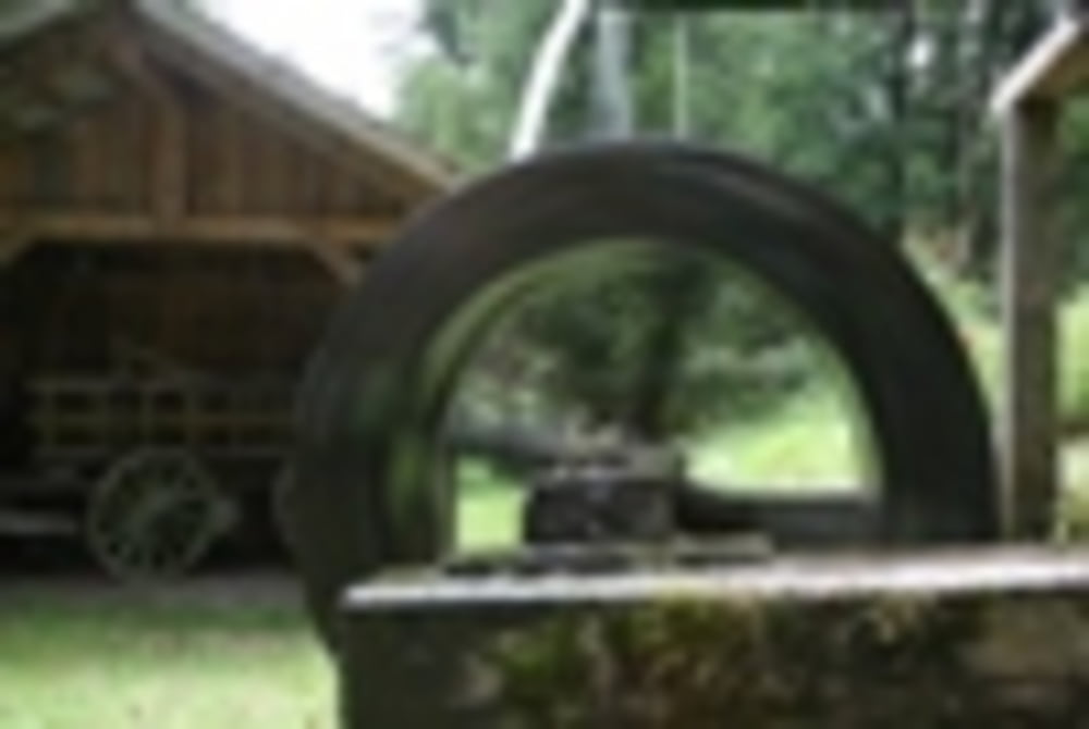
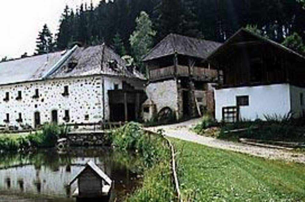
Der Weg verläuft in herrlicher typischer Mühlviertler Landschaft entlang von Bächen und Wiesen durch Wälder teilweise direkt an der Staatsgrenze zur Tschechischen Republik

Further information at

http://www.muehlenlauf.at

Tour gallery

Tour map and elevation profile

  • Open Street Map
  • Google
Minimum height 605 m Maximum height 730 m Detailed view

More about the tour author

starzer123
Member since 2010

Send private message

Comments

Von Linz nach Norden über Freistadt oder Bad Leofelden.

GPS tracks

Trackpoints
  • GPX / Garmin Map Source (gpx) download
  • TCX / Garmin Training Center® (tcx) download
  • CRS / Garmin Training Center® (crs) download
  • Google Earth (kml) download
  • G7ToWin (g7t) download
  • TTQV (trk) download
  • Overlay (ovl) download
  • Fugawi (txt) download
  • Kompass (DAV) Track (tk) download
  • Track data sheet (pdf) download
  • Original file of the author (gpx) download

More about the tour author

starzer123
Member since 2010

Send private message
Share track
Add to my favorites
Remove from my favorites
Edit tags
My score
Rate
Track: Zehn-Mühlenweg Reichenthal
Type: Running
Distance: 14,1 km
Evaluated on:
Duration:
Day(s)
Hour(s)
Minute(s)
Score: Landscape Fun factor Fitness Technique