Login

Forgot your login?

Cookies have to be accepted!
Your browser's cookie functionality is disabled. Please enable this functionality.

Not a member yet?

Register now
Login

Available for registred users only

Log in to use this feature.

Forgot your login?

Cookies have to be accepted!
Your browser's cookie functionality is disabled. Please enable this functionality.

Not a member yet?

Register now
Filter
Categories
Advanced filters
  • Distance (km)
  • Height
Save filters Reset filter

TrackRank

QRCode

Technical data

Distance59,1 km Height131 m Way down129 m Duration02:15 h:m Date29.10.2006
Scores Author Landscape Fun factor Fitness Technique

Statistics

203 Views Scores 33 Downloads Average
Rate
  • Track data sheet
  • Directions
  • Downloads
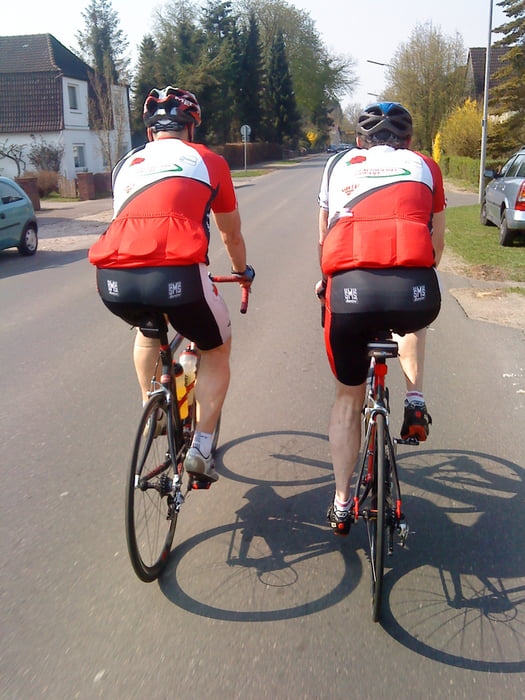
Sehr gut befahrene Strassen lassen diese Runde zu einem Hochgeschwindigkeitserlebnis werden, wenn der Wind aus der richtigen Richtung kommt...

Further information at

http://www.bmtv.de/rad/rad.htm

Tour map and elevation profile

  • Open Street Map
  • Google
Minimum height -9 m Maximum height 19 m Detailed view

More about the tour author

Harm
Member since 2005

Send private message

Comments

Gestartet sind wir bei unserem Ausrüster: Radsport Preuß. Adresse: Reichenstrasse in 25355 Barmstedt. Ganz leicht über die A23 zu erreichen.

GPS tracks

Trackpoints
  • GPX / Garmin Map Source (gpx) download
  • TCX / Garmin Training Center® (tcx) download
  • CRS / Garmin Training Center® (crs) download
  • Google Earth (kml) download
  • G7ToWin (g7t) download
  • TTQV (trk) download
  • Overlay (ovl) download
  • Fugawi (txt) download
  • Kompass (DAV) Track (tk) download
  • Track data sheet (pdf) download
  • Original file of the author (g7t) download

More about the tour author

Harm
Member since 2005

Send private message
Share track
Add to my favorites
Remove from my favorites
Edit tags
My score
Rate
Track: Trainingsrunde 2
Type: Road biking
Distance: 59,1 km
Evaluated on:
Duration:
Day(s)
Hour(s)
Minute(s)
Score: Landscape Fun factor Fitness Technique