


Familientour mit Tennies.
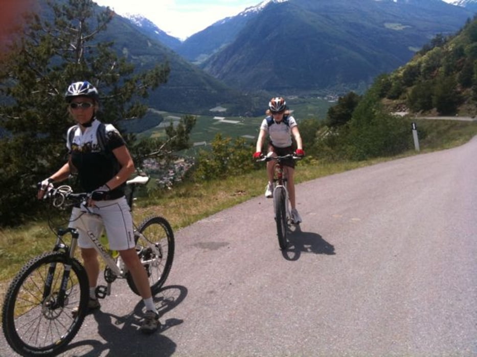
Ein langer und stetiger Anstieg wird belohnt. Aufwärst gehts auf der Straße nach St. Martin hoch. Die Pausen mit den Kids werden belohnt mit sagenhafter Aussicht auf die Ortlerregion. Bei uns im Juni, waren die Gipfel alle noch schneebedeckt.
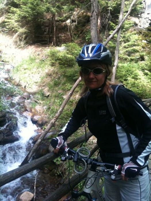
Oben angelangt belohnt die erste Abfahrt auf Forststraßen bis zur Jausenstation...Achtung. Das sind nach der Seilbahn die ersten Häuser die man trifft. Um die Ecke gucken, dort ist die Einkehr.
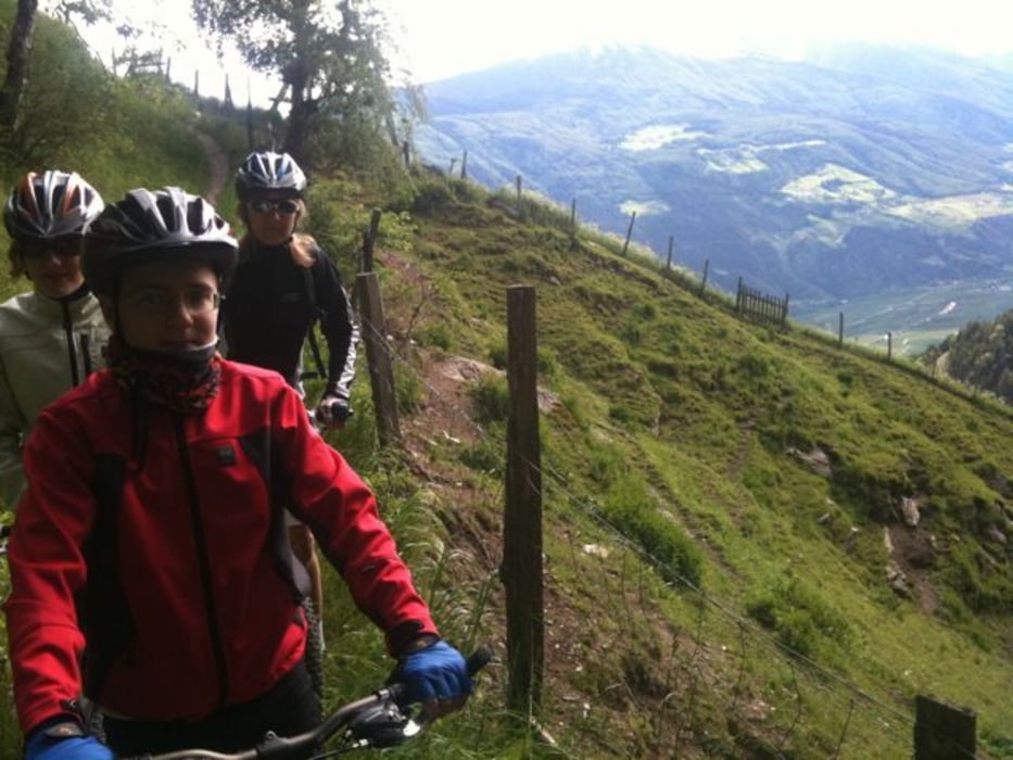
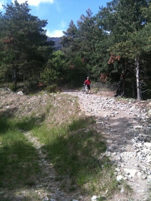
Die Kids haben sich mit Kaiserschmarrn gestärkt. Dann sind wir den Weg Nr. 7 über Schloß Annenberg abwärst gesurft. Nur gebremst durch ein Weidezaungitter...wer mag kann den Downhill noch weiter ausbauen, da links und rechts immer wieder Trails abwärts ziehen.
Further information at
http://www.suedtirol.comTour gallery
Tour map and elevation profile
Minimum height 574 m
Maximum height 1428 m
More about the tour author
|
|
hellerich |
Comments

GPS tracks
Trackpoints-
GPX / Garmin Map Source (gpx) download
-
TCX / Garmin Training Center® (tcx) download
-
CRS / Garmin Training Center® (crs) download
-
Google Earth (kml) download
-
G7ToWin (g7t) download
-
TTQV (trk) download
-
Overlay (ovl) download
-
Fugawi (txt) download
-
Kompass (DAV) Track (tk) download
-
Track data sheet (pdf) download
-
Original file of the author (gpx) download
More about the tour author
|
|
hellerich |
Add to my favorites
Remove from my favorites
Edit tags
Open track
My score
Rate