


Eine weitere Variante des Laubenstein/ Hochries/ Frasdorfer Hütte Gebietes. Dauer: 02:00h
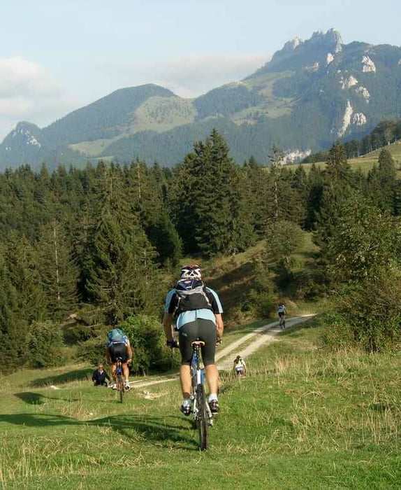
Auffahrt Sonniger Weg mit ein paar Ausblicken über Rosenheim und Simssee. Netter Trail von der Winterstube zur Frasdorfer Hütte über die Alm. Weiter zum Aberg: Erst zum Laubenstein. Am Eiskeller rechts hinunter und bald durch das Karstgebiet zum Anfang vom Trockenbachtal. Dort gehts weg noch ein paar hundert Meter zu den einsamen Abergalmen. Abends sonnig und die Senner haben auch was zu trinekn.
Abfahrt: Runter zur Hofalm, dabei einige Abkürzer nutzbar. An der Hofalm mal nicht den Milliweg, sondern den dierkten nach Aschau. Sehr steil. Grobes, lockeres Geröll. Eher Herausforderung als Spaß
EinkehrFrasdrofer Hütte, Hofalm
Further information at
http://www.martin-blum.de/bikeTour gallery
Tour map and elevation profile
Minimum height 595 m
Maximum height 1369 m
More about the tour author
|
|
martin.blum |
Comments

A8 München-Salzburg, Ausfahrt Frasdorf. In den Ort dort kurz vor der Kirche zum Parkplatz Ledererstube links.
GPS tracks
Trackpoints-
GPX / Garmin Map Source (gpx) download
-
TCX / Garmin Training Center® (tcx) download
-
CRS / Garmin Training Center® (crs) download
-
Google Earth (kml) download
-
G7ToWin (g7t) download
-
TTQV (trk) download
-
Overlay (ovl) download
-
Fugawi (txt) download
-
Kompass (DAV) Track (tk) download
-
Track data sheet (pdf) download
-
Original file of the author (gpx) download
More about the tour author
|
|
martin.blum |
Add to my favorites
Remove from my favorites
Edit tags
Open track
My score
Rate