Login

Forgotten password?

Cookies have to be accepted!
Your browser's cookie functionality is disabled. Please enable this functionality.

Not a member yet?

Register now
Login

Available for registred users only

Log in to use this feature.

Forgotten password?

Cookies have to be accepted!
Your browser's cookie functionality is disabled. Please enable this functionality.

Not a member yet?

Register now
Filter
Categories
Advanced filters
  • Distance (km)
  • Height
Save filters Reset filter

TrackRank

QRCode

Technical data

Distance60,9 km Height406 m Way down429 m Duration03:00 h:m Date07.06.2010
Scores Author Landscape Fun factor Fitness Technique

Statistics

207 Views Scores 32 Downloads Average
Rate
  • Track data sheet
  • Directions
  • Downloads

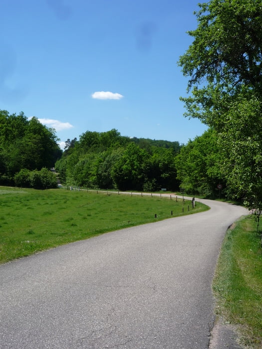
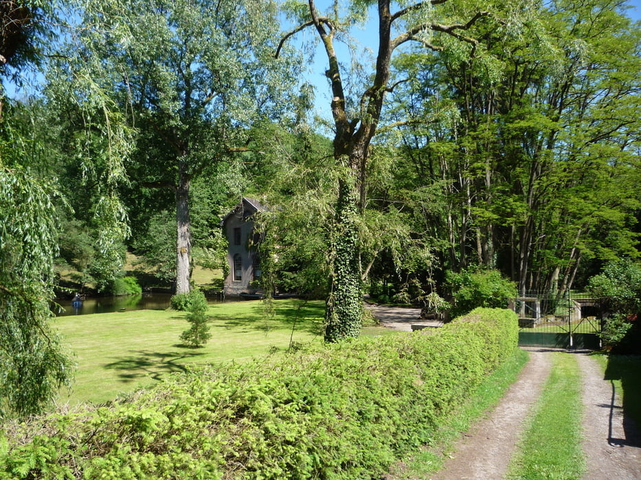
Rundtour durch die Nordvogesen auf meist verkehrsarmen Straßen mit Start direkt an der deutsch-französischen Grenze.


Tour gallery

Tour map and elevation profile

  • Open Street Map
  • Google
Minimum height 182 m Maximum height 342 m Detailed view

More about the tour author

Flash
Member since 2008

Send private message

Comments

Mit dem Auto am Ortsbeginn oder -ende von Obersteinbach parken (Wanderparkplätze).

GPS tracks

Trackpoints
  • GPX / Garmin Map Source (gpx) download
  • TCX / Garmin Training Center® (tcx) download
  • CRS / Garmin Training Center® (crs) download
  • Google Earth (kml) download
  • G7ToWin (g7t) download
  • TTQV (trk) download
  • Overlay (ovl) download
  • Fugawi (txt) download
  • Kompass (DAV) Track (tk) download
  • Track data sheet (pdf) download
  • Original file of the author (gpx) download

More about the tour author

Flash
Member since 2008

Send private message
Share track
Add to my favorites
Remove from my favorites
Edit tags
My score
Rate
Track: Obersteinbach 3 - Rundtour
Type: Road biking
Distance: 60,9 km
Evaluated on:
Duration:
Day(s)
Hour(s)
Minute(s)
Score: Landscape Fun factor Fitness Technique