
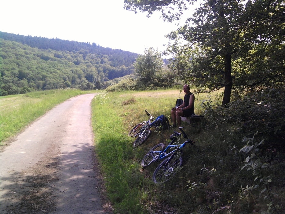

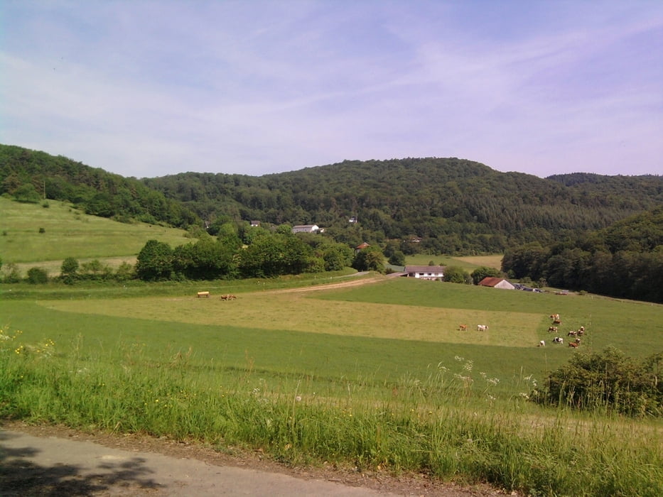
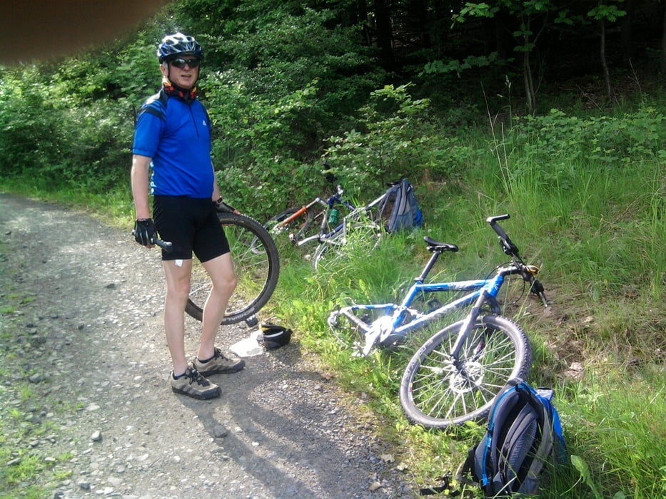
Dies ist die längste der Extratouren aus dem Programm des Lahn-Dill-Berglandes.Wir sind die Runde mit dem Mountainbike abgefahren aber sie eignet sich durchaus auch zum Wandern. Immer wieder ergeben sich tolle Aussichten. Der Weg hat viele Trail-Passagen (Pfade) aber auch viele steile Anstiege. Einkehrmöglichkeiten gibt es in Katzenbach und natürlich reichlich in Biedenkopf.
Further information at
http://www.lahn-dill-bergland.deTour gallery

Tour map and elevation profile
Minimum height 234 m
Maximum height 494 m
More about the tour author

|
Arno Brueck |
Comments

Wir sind an der Hinterlandhalle an der B 453 zwischen Gladenbach und Biedenkopf vor dem Ortseingang Dautpe.
GPS tracks
Trackpoints-
GPX / Garmin Map Source (gpx) download
-
TCX / Garmin Training Center® (tcx) download
-
CRS / Garmin Training Center® (crs) download
-
Google Earth (kml) download
-
G7ToWin (g7t) download
-
TTQV (trk) download
-
Overlay (ovl) download
-
Fugawi (txt) download
-
Kompass (DAV) Track (tk) download
-
Track data sheet (pdf) download
-
Original file of the author (gpx) download
More about the tour author
|
|
Arno Brueck |
Add to my favorites
Remove from my favorites
Edit tags
Open track
My score
Rate