


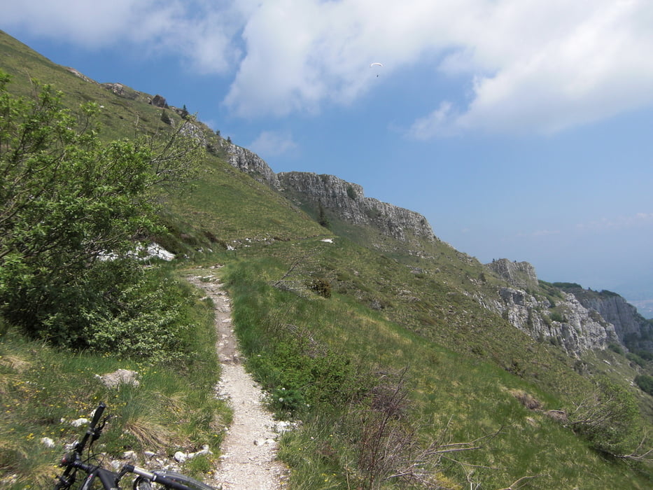
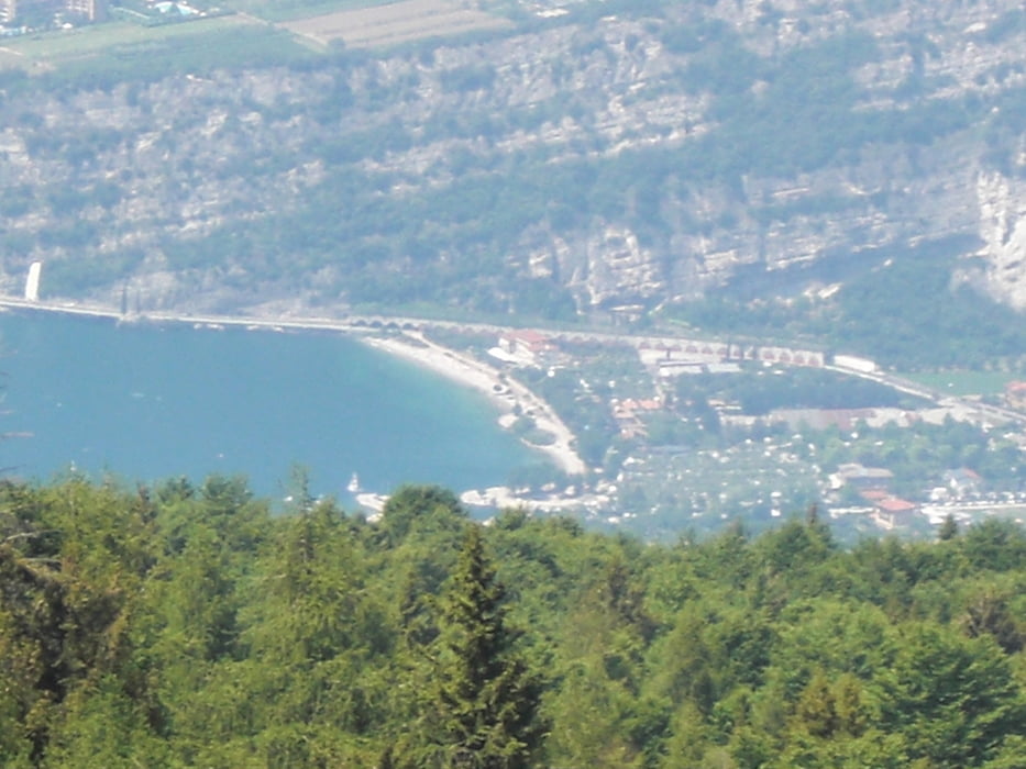
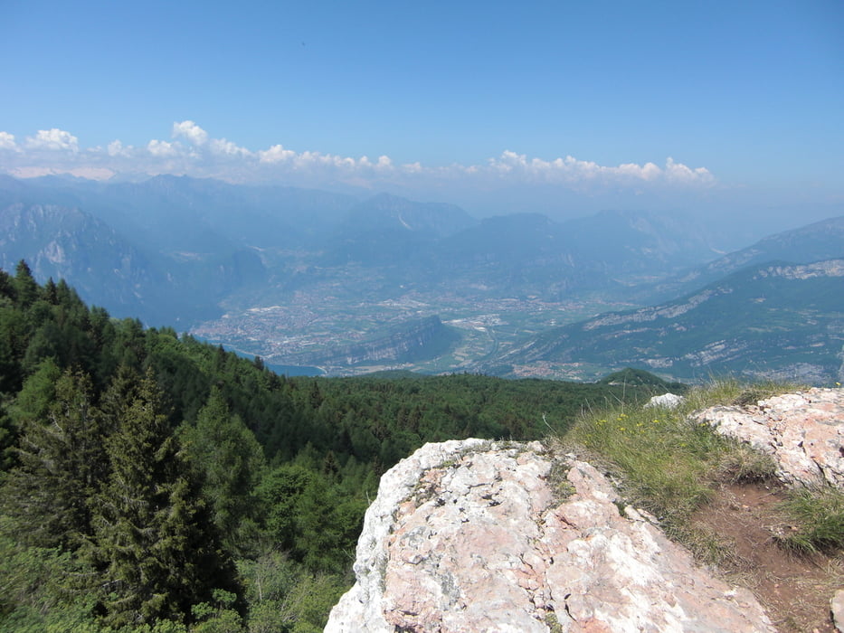
Raus aus dem Shuttle und los gehts um den Altissimo. Schöne Singletrails und diverse Tragepassagen. Dann eine rasante Abfahrt nach Torbole.
Further information at
http://de.wikipedia.org/wiki/Monte_BaldoTour gallery
Tour map and elevation profile
Minimum height 43 m
Maximum height 1709 m
More about the tour author
|
|
superman77 |
Comments

Sind von Torbole aus mit dem Bike nach Malcesine gefahren. Nur mussten wir leider um 9.30 Uhr bereits feststellen, dass die Gondel zum Monte Baldo bereits voll ausgebucht war! Somit haben wir uns mit anderen Bikern ein Shuttle organisiert! Kosten: 20 Euro pro Person. Die Fahrt mit dem Shuttle dauert allerdings ca. 1 Stunde.
GPS tracks
Trackpoints-
GPX / Garmin Map Source (gpx) download
-
TCX / Garmin Training Center® (tcx) download
-
CRS / Garmin Training Center® (crs) download
-
Google Earth (kml) download
-
G7ToWin (g7t) download
-
TTQV (trk) download
-
Overlay (ovl) download
-
Fugawi (txt) download
-
Kompass (DAV) Track (tk) download
-
Track data sheet (pdf) download
-
Original file of the author (gpx) download
More about the tour author
|
|
superman77 |
Add to my favorites
Remove from my favorites
Edit tags
Open track
My score
Rate