Login

Forgot your login?

Cookies have to be accepted!
Your browser's cookie functionality is disabled. Please enable this functionality.

Not a member yet?

Register now
Login

Available for registred users only

Log in to use this feature.

Forgot your login?

Cookies have to be accepted!
Your browser's cookie functionality is disabled. Please enable this functionality.

Not a member yet?

Register now
Filter
Categories
Advanced filters
  • Distance (km)
  • Height
Save filters Reset filter

TrackRank

QRCode

Technical data

Distance809,0 km Height13743 m Way down13411 m Duration2 days 0 h Date10.06.2010
Scores Author Landscape Fun factor Fitness Technique

Statistics

1571 Views Scores 77 Downloads Average
Rate
  • Track data sheet
  • Directions
  • Downloads

Motorrad Woche 2010 in Tolmin (Slowenien):

2-tägige Rückreise Tolmin (SL) nach Dornstetten:


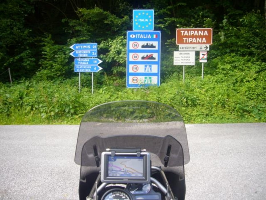
Tolmin – Kobalid – Bregni – Attimis – Buja – Clanzetto – Tramonti – Passo Monte Rest – Lumeischlucht – Sauris – Selli di Razzo – Cortina d’Ampezzo – Falzarego – Pordoijoch – Sellajoch – Übernachtund  in Sterzing – Brenner (Pass) – Kühtaisattel – Hahntennjoch – Oberjoch – Ravensburg - Dornstetten
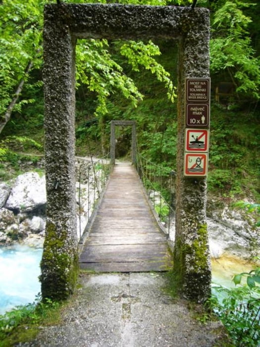
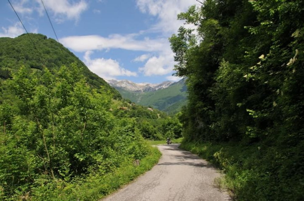
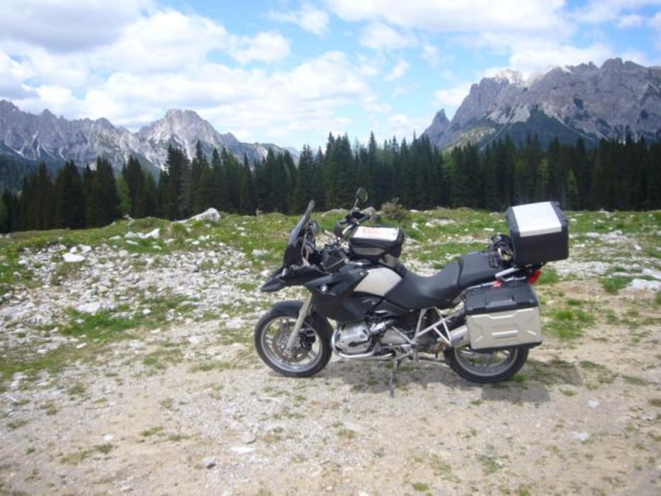
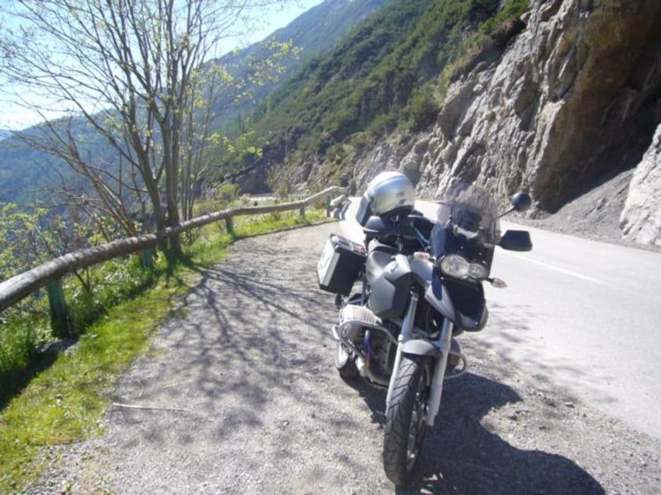


Tour gallery

Tour map and elevation profile

  • Open Street Map
  • Google
Minimum height 129 m Maximum height 2243 m Detailed view

More about the tour author

hefredo
Member since 2008

Send private message

Comments

GPS tracks

Trackpoints
  • GPX / Garmin Map Source (gpx) download
  • TCX / Garmin Training Center® (tcx) download
  • CRS / Garmin Training Center® (crs) download
  • Google Earth (kml) download
  • G7ToWin (g7t) download
  • TTQV (trk) download
  • Overlay (ovl) download
  • Fugawi (txt) download
  • Kompass (DAV) Track (tk) download
  • Track data sheet (pdf) download
  • Original file of the author (gpx) download

More about the tour author

hefredo
Member since 2008

Send private message
Share track
Add to my favorites
Remove from my favorites
Edit tags
My score
Rate
Track: Slowenien Tolmin - Dornstetten ohne Autobahn
Type: Motorcycles
Distance: 809,0 km
Evaluated on:
Duration:
Day(s)
Hour(s)
Minute(s)
Score: Landscape Fun factor Fitness Technique