


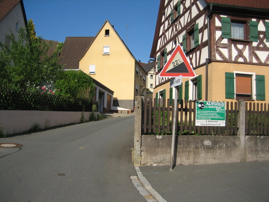
Die Tour startet in Eckental/Eschenau am Friedhof.
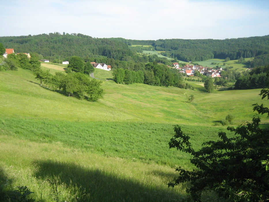
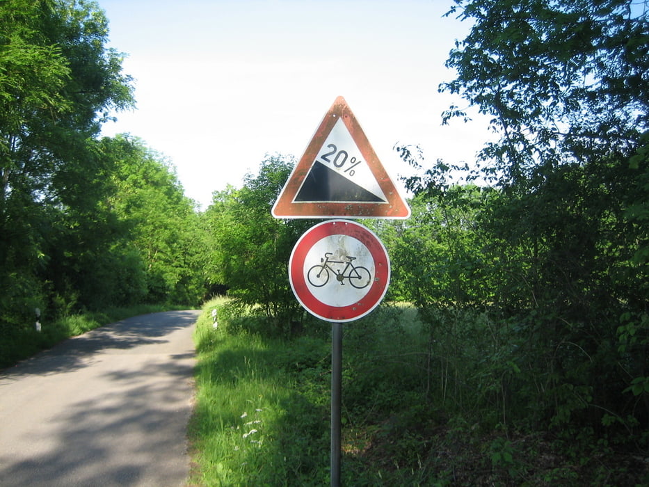
Wir rollen uns bis Schnaitach ein, dann beginnen die Anstiege. Sehr gute Bremsen sind für diese Tour Voraussetzung. Zuerst geht es auf den Rothenberg, weiter bei Siegersdorf hoch Richtung Kirchensittenbach und von hier hoch nach Stöppach. Von hier fahren wir weiter zum Hohenstein und haben die schwierigsten Passagen geschafft. Über Speis, Grossengsee fahren wir nach Hüttenbach und hoch nach Oberwindsberg. Über Rüsselbach geht es zurück.
Was Euch erwartet könnt ihr an den bildern sehen.
Tour gallery

Tour map and elevation profile
Minimum height 331 m
Maximum height 572 m
More about the tour author
|
|
Rodforer |
Comments

Mit der Grägenbergbahn bis Eschenau, oder mit dem PKW zum Friedhof in Eschenau hier gibt es Parkmöglichkeiten.
GPS tracks
Trackpoints-
GPX / Garmin Map Source (gpx) download
-
TCX / Garmin Training Center® (tcx) download
-
CRS / Garmin Training Center® (crs) download
-
Google Earth (kml) download
-
G7ToWin (g7t) download
-
TTQV (trk) download
-
Overlay (ovl) download
-
Fugawi (txt) download
-
Kompass (DAV) Track (tk) download
-
Track data sheet (pdf) download
-
Original file of the author (gpx) download
More about the tour author
|
|
Rodforer |
Add to my favorites
Remove from my favorites
Edit tags
Open track
My score
Rate