

Entspricht im weitesten Sinne der Moser 7/36 Herzogstandrunde mit Umrundung des Walchensees über Ufertrail sowie mit Vermeidung der Kesselbergstraße oberhalb vom Kraftwerk an gleich in Richtung Urfeld abbiegen.
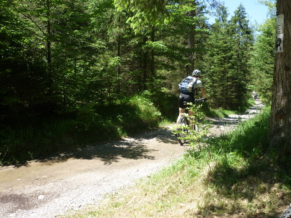
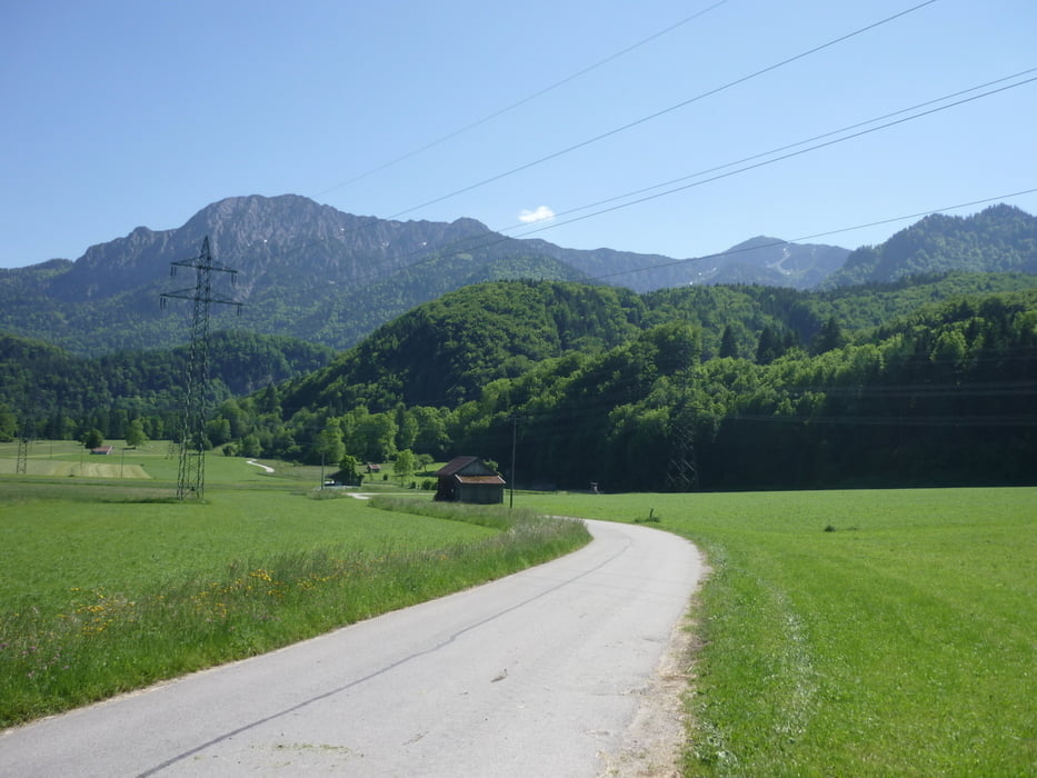
Tour gallery
Tour map and elevation profile
Minimum height 602 m
Maximum height 1587 m
More about the tour author

|
Feurs01 |
Comments

A95 in Richtung Garmisch, bei Ausfahrt 10 (Kochel, Murnau) ab und Richtung Kochel fahren. Durch Kochel durch und der B11 nach Urfeld am Walchensee folgen. (1.Ortschaft nach den Walchenseesattel) . Am Ortseingang, rechts gegenüber Gasthaus Post, gibt eine Wiese auf der man parken kann. (5,-€)
GPS tracks
Trackpoints-
GPX / Garmin Map Source (gpx) download
-
TCX / Garmin Training Center® (tcx) download
-
CRS / Garmin Training Center® (crs) download
-
Google Earth (kml) download
-
G7ToWin (g7t) download
-
TTQV (trk) download
-
Overlay (ovl) download
-
Fugawi (txt) download
-
Kompass (DAV) Track (tk) download
-
Track data sheet (pdf) download
-
Original file of the author (gpx) download
More about the tour author
|
|
Feurs01 |
Add to my favorites
Remove from my favorites
Edit tags
Open track
My score
Rate