


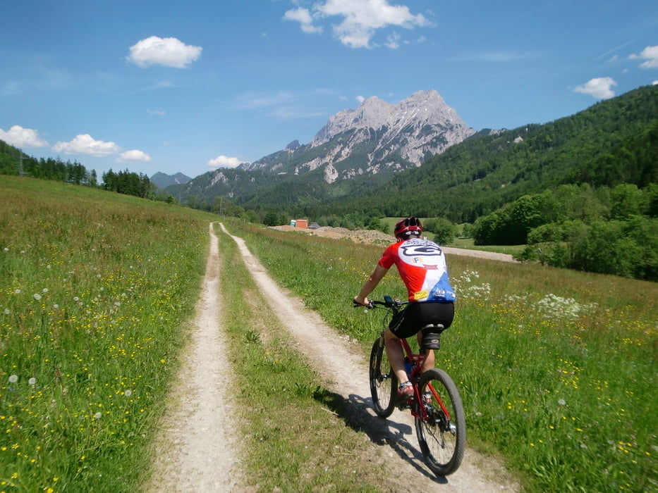
Vom Buchauersattel über die Forststraße bergauf bis zur Grabneralm. Wir haben den Weg weiter etwas erkundet, dieser führte aber bald bergab und nicht dort hin, wo wir wollten!
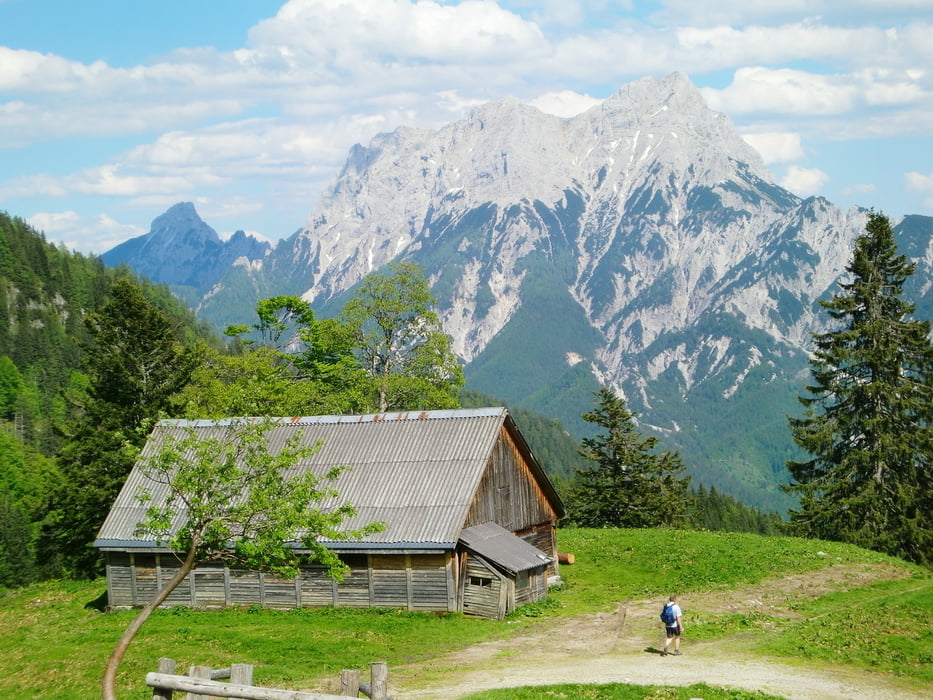
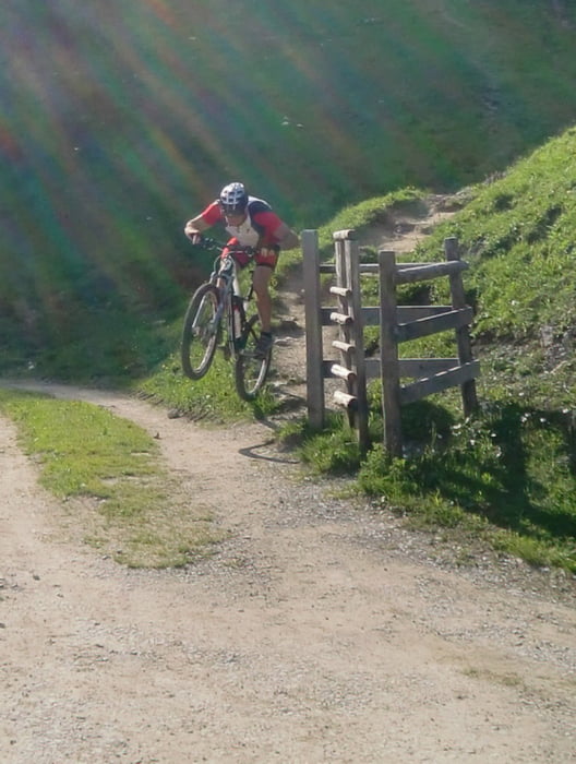
Bei der Grabneralm haben wir gestärkt und wählten zur Abfahrt den Wanderweg (Single Trail) manche stellen sind Schiebepassagen, bzw. können diese auch umfahren werden. Für geübte sehr zu empfehlen. Das Panaroma ist super (Kl. und Gr. Buchstein im Vordergrund).
Ich wünsche viel Spaß bei dieser Tour.
Tour gallery
Tour map and elevation profile
Minimum height 849 m
Maximum height 1445 m
More about the tour author
|
|
schoyswo |
Comments

Ausgangspunkt:
Buchauer Sattel - Parkplatz
GPS tracks
Trackpoints-
GPX / Garmin Map Source (gpx) download
-
TCX / Garmin Training Center® (tcx) download
-
CRS / Garmin Training Center® (crs) download
-
Google Earth (kml) download
-
G7ToWin (g7t) download
-
TTQV (trk) download
-
Overlay (ovl) download
-
Fugawi (txt) download
-
Kompass (DAV) Track (tk) download
-
Track data sheet (pdf) download
-
Original file of the author (gpx) download
More about the tour author
|
|
schoyswo |
Add to my favorites
Remove from my favorites
Edit tags
Open track
My score
Rate