


Sehr schöne Wanderung entlang der Küste mit Klettereinlagen die später über gemütliche Pfade zur Ostspitze Ibizas führt.
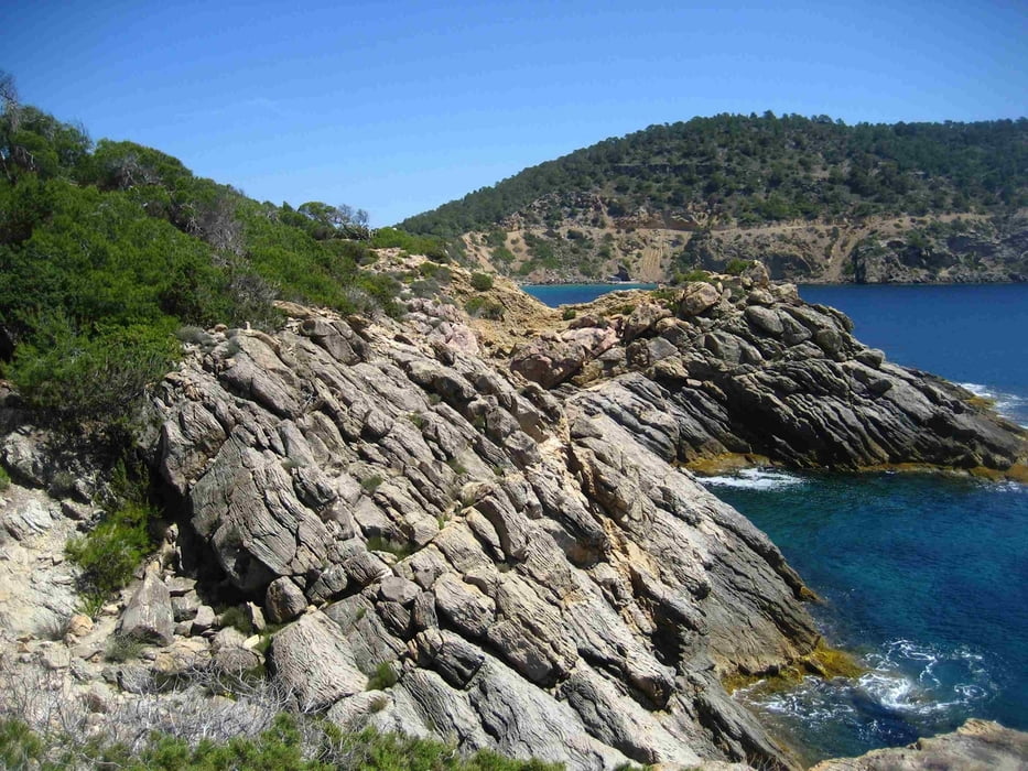
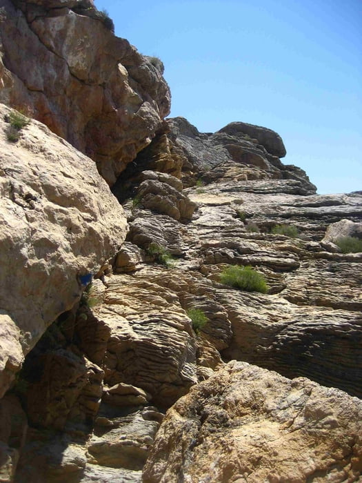
Die Wanderung beginnt an der Cala Mastella und führt vorbei direkt an der Küste entlang zum bekannten Fischrestaurant Don Bigote (Reservierung nur pesönlich möglich, da kein Telefon!). Nun Landeinwärts und stets der blauen Markierung folgend mal an der Küste mal an etwas abseits bis wir durch einen Hain kommend auf die Halbinsel Cap Roig blicken auf 2 Canyon durchklettern müssen. Anschließend weiter bis zur Cala Boix.
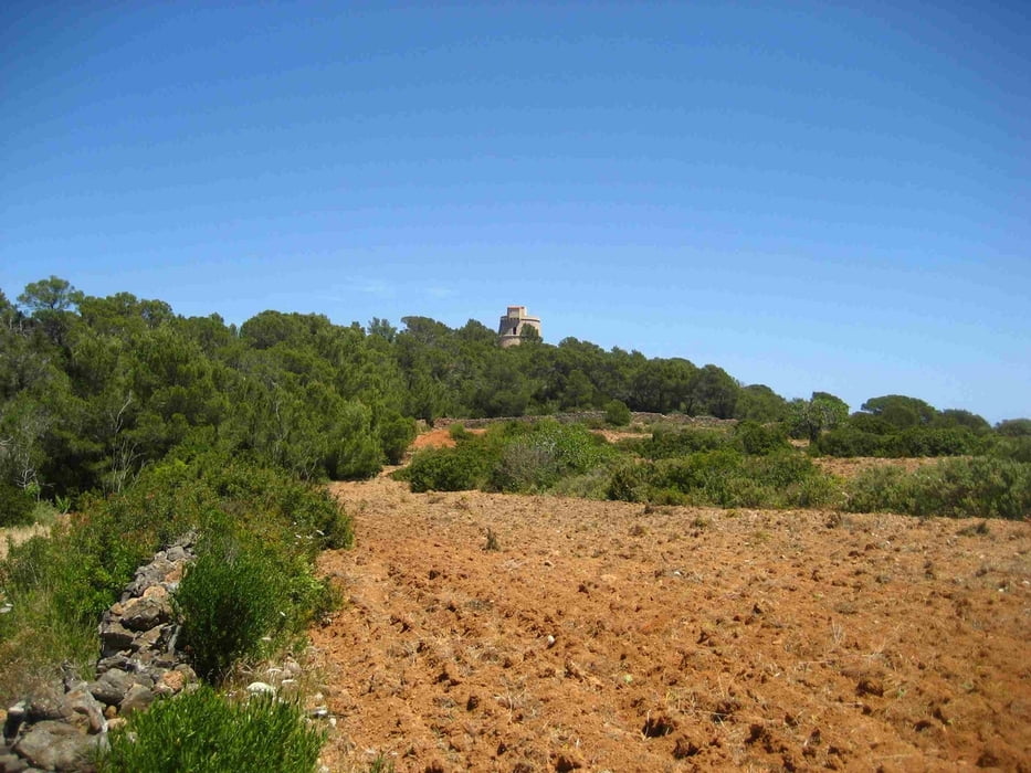
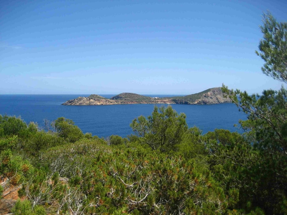
Nun geht es entlang an Johannisbrotbäumen zur Canal d'en Martí über Schotterpiste bis zum Piratenturm Torre d'en Valls. Hier ein schöner Ausblick auf die Insel Tago Mago. zurück bis zur Cala Boix den gleichen Weg und entlang der einsamen Straße zum Ausgangspunkt.
Tour gallery
Tour map and elevation profile
Minimum height 4 m
Maximum height 59 m
More about the tour author
|
|
msdetroit |
Comments

GPS tracks
Trackpoints-
GPX / Garmin Map Source (gpx) download
-
TCX / Garmin Training Center® (tcx) download
-
CRS / Garmin Training Center® (crs) download
-
Google Earth (kml) download
-
G7ToWin (g7t) download
-
TTQV (trk) download
-
Overlay (ovl) download
-
Fugawi (txt) download
-
Kompass (DAV) Track (tk) download
-
Track data sheet (pdf) download
-
Original file of the author (gpx) download
More about the tour author
|
|
msdetroit |
Add to my favorites
Remove from my favorites
Edit tags
Open track
My score
Rate