


Die Tour führt von Frauenwald über Allzunah nach Stützerbach, von dort auf dem Goethewanderweg zum Kickelhahn, dort bergab zum Hermannstein nach Manebach.
Hinauf geht es nun über dem Heide.- und Rumpelberg zur Hohen Warte (Rastmöglichkeit). Von dort fährt man bergab (mit einer kurzen Tragepassage) nach Geraberg in´s Tal der Zahmen Gera. Weiter gehts bergauf nach Gehlberg, konditionsstarke fahren nochmals hinab in´s Tal und einen Trail zurück nach Gehlberg. (Alle anderen fahren in Gelberg einfach gerade aus und kommen wieder auf die Route.)Von Gehlberg fährt man nun hoch zur Schmücke (Rastmöglichkeit. Nach einer Stärkung rollt man nun auf Wurzeltrails zurück nach Frauenwald. Viel Spaß beim Nachfahren.
Hinauf geht es nun über dem Heide.- und Rumpelberg zur Hohen Warte (Rastmöglichkeit). Von dort fährt man bergab (mit einer kurzen Tragepassage) nach Geraberg in´s Tal der Zahmen Gera. Weiter gehts bergauf nach Gehlberg, konditionsstarke fahren nochmals hinab in´s Tal und einen Trail zurück nach Gehlberg. (Alle anderen fahren in Gelberg einfach gerade aus und kommen wieder auf die Route.)Von Gehlberg fährt man nun hoch zur Schmücke (Rastmöglichkeit. Nach einer Stärkung rollt man nun auf Wurzeltrails zurück nach Frauenwald. Viel Spaß beim Nachfahren.
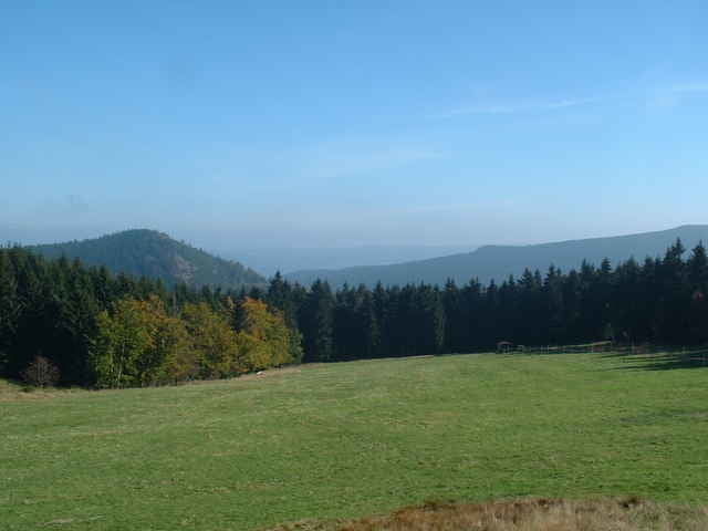
Tour gallery
Tour map and elevation profile
Minimum height 473 m
Maximum height 922 m
More about the tour author

|
ueberflieger96 |
Comments

Frauenwald bei Ilmenau, eigentlich einfach zu finden. Als Start/ Zielpunkt bietet sich der Wandererparkplatz am Ortsanfang an.
GPS tracks
Trackpoints-
GPX / Garmin Map Source (gpx) download
-
TCX / Garmin Training Center® (tcx) download
-
CRS / Garmin Training Center® (crs) download
-
Google Earth (kml) download
-
G7ToWin (g7t) download
-
TTQV (trk) download
-
Overlay (ovl) download
-
Fugawi (txt) download
-
Kompass (DAV) Track (tk) download
-
Track data sheet (pdf) download
-
Original file of the author (gpx) download
More about the tour author
|
|
ueberflieger96 |
Add to my favorites
Remove from my favorites
Edit tags
Open track
My score
Rate