

Das war unser Test des Trainingsstands in 2010.
Geplant war ursprünglich mal eine komplette Hunsrückumrundung innerhalb von 24.
Leider musste diese ausfallen, da wir kein Betreuungsteam für die Nachtfahrt bekommen haben.
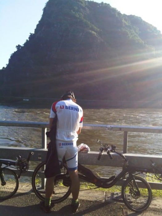
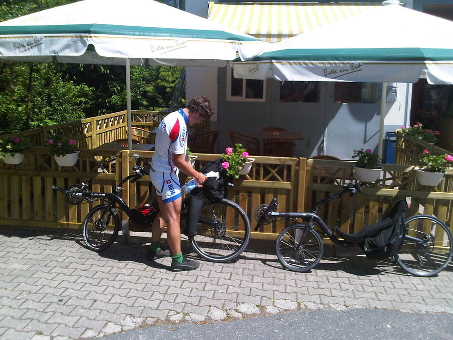
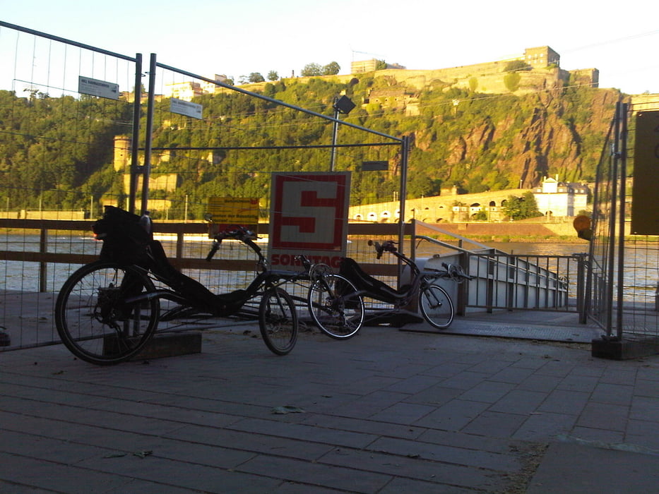
So sind wir am Deutschen Eck gestartet und Richtung Bingen gefahren. Danach die Nahe aufwärts bis Kirn. Von dort führte unser Weg quer über den Hunsrück nach Mühlheim an der Mosel. Von da an ging es eigentlich nur noch bergab :-) zurück nach Koblenz.
Viel Spaß beim nachfahren
Grüsse
Der Hunsrücker
Further information at
http://de.wikipedia.org/wiki/HunsrückTour gallery

Tour map and elevation profile
Minimum height 4 m
Maximum height 573 m
More about the tour author
|
|
der_Hunsruecker |
Comments

GPS tracks
Trackpoints-
GPX / Garmin Map Source (gpx) download
-
TCX / Garmin Training Center® (tcx) download
-
CRS / Garmin Training Center® (crs) download
-
Google Earth (kml) download
-
G7ToWin (g7t) download
-
TTQV (trk) download
-
Overlay (ovl) download
-
Fugawi (txt) download
-
Kompass (DAV) Track (tk) download
-
Track data sheet (pdf) download
-
Original file of the author (gpx) download
More about the tour author
|
|
der_Hunsruecker |
Add to my favorites
Remove from my favorites
Edit tags
Open track
My score
Rate