Login

Forgotten password?

Cookies have to be accepted!
Your browser's cookie functionality is disabled. Please enable this functionality.

Not a member yet?

Register now
Login

Available for registred users only

Log in to use this feature.

Forgotten password?

Cookies have to be accepted!
Your browser's cookie functionality is disabled. Please enable this functionality.

Not a member yet?

Register now
Filter
Categories
Advanced filters
  • Distance (km)
  • Height
Save filters Reset filter

TrackRank

QRCode

Technical data

Distance24,4 km Height199 m Way down217 m Duration05:30 h:m Date13.06.2010
Scores Author Landscape Fun factor Fitness Technique

Statistics

898 Views Scores 17 Downloads Average
Rate
  • Track data sheet
  • Directions
  • Downloads

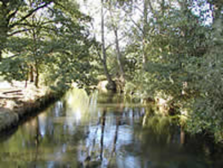
Luhe, Nebenfluss der Illmenau

Einsetzen in Oldendorff, Marxener Straße

kleiner Steg, Möglichkeit Pkws abzustellen

nur Boote bis max. 5,5m Länge / 1m Breite

von 18:00 Uhr bis 09:00 Uhr Fahrverbot

Flöße verboten, Himmelfahrt und Pfingsten verboten

mindestens 1x Umtragen am Gut Schnede

zwischen durch Schwallstrecken, Stufen (Höhe ca. 0,4m, Spritzdecke nötig)

Aussetzen in Luhdorf, Kraftwerk

kleiner Steg, Parken der PKW Richtung Suhrfeldweg

Tour gallery

Tour map and elevation profile

  • Open Street Map
  • Google
Minimum height -6 m Maximum height 34 m Detailed view

More about the tour author

HanHH
Member since 2009

Send private message

Comments

GPS tracks

Trackpoints
  • GPX / Garmin Map Source (gpx) download
  • TCX / Garmin Training Center® (tcx) download
  • CRS / Garmin Training Center® (crs) download
  • Google Earth (kml) download
  • G7ToWin (g7t) download
  • TTQV (trk) download
  • Overlay (ovl) download
  • Fugawi (txt) download
  • Kompass (DAV) Track (tk) download
  • Track data sheet (pdf) download
  • Original file of the author (gpx) download

More about the tour author

HanHH
Member since 2009

Send private message
Share track
Add to my favorites
Remove from my favorites
Edit tags
My score
Rate
Track: Luhe Oldendorff bis Luhmuehlen
Type: Boat and canoe
Distance: 24,4 km
Evaluated on:
Duration:
Day(s)
Hour(s)
Minute(s)
Score: Landscape Fun factor Fitness Technique