


Die Tour startet beim Kur- und Thermenhotel in Bad Tatzmannsdorf und führt über Jormannsdorf nach Mariasdorf. Bis Bernstein folgt sie dem gut ausgeschilderten "Edelserpentinen-Radweg" um dann über Grodnau und Stadtschlaining und Drumling wieder Bad Tatzmannsdorf zu erreichen.
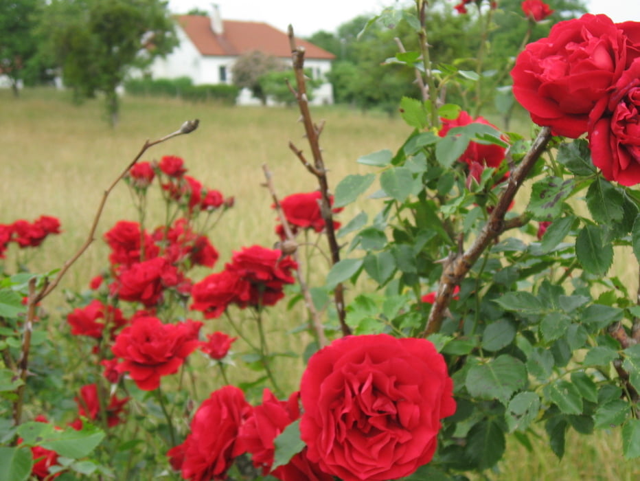
Die Streckenführung geht über Nebenstraßen und bietet - bei klarer Sicht - einige Aussichtspunkte und Panoramastrecken.
Further information at
http://www.radarena.at/index2.htmlTour gallery
Tour map and elevation profile
Minimum height 324 m
Maximum height 640 m
More about the tour author
|
|
FranzH |
Comments

Die Bad Tatzmanndorf ist über die Südautobahn leicht erreichbar. Von Wien aus nutzt man die Abfahrt Pinggau und vom Süden Markt Allhau bzw. Oberwart.
GPS tracks
Trackpoints-
GPX / Garmin Map Source (gpx) download
-
TCX / Garmin Training Center® (tcx) download
-
CRS / Garmin Training Center® (crs) download
-
Google Earth (kml) download
-
G7ToWin (g7t) download
-
TTQV (trk) download
-
Overlay (ovl) download
-
Fugawi (txt) download
-
Kompass (DAV) Track (tk) download
-
Track data sheet (pdf) download
-
Original file of the author (gpx) download
More about the tour author
|
|
FranzH |
Add to my favorites
Remove from my favorites
Edit tags
Open track
My score
Rate