


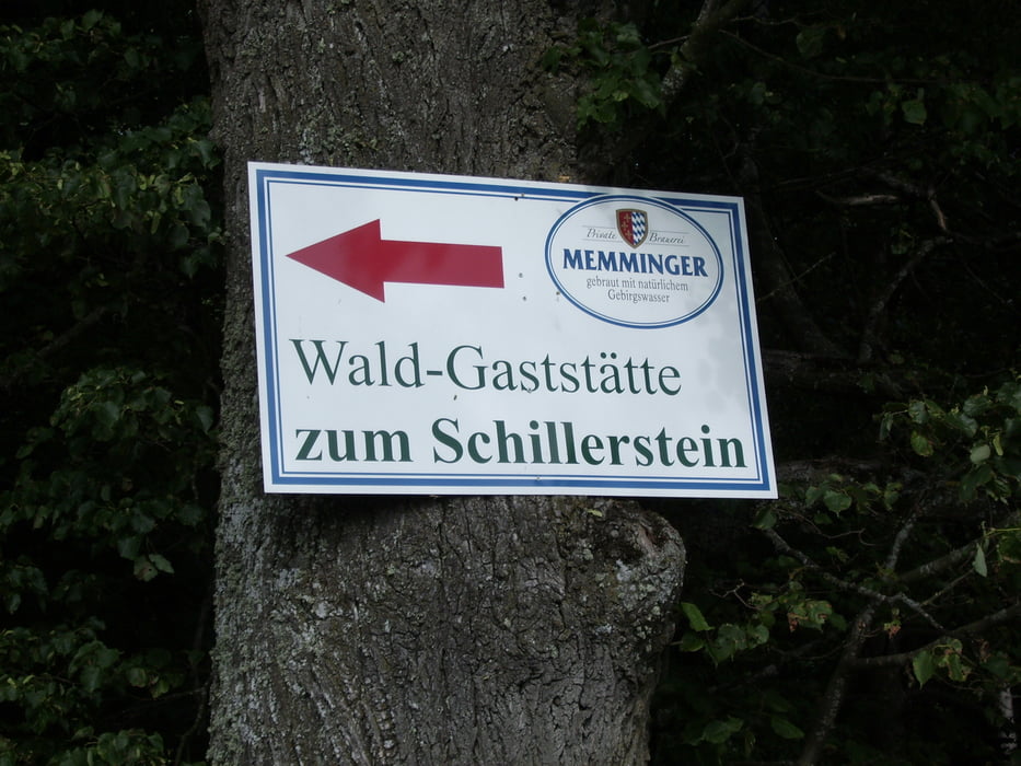
Von Steinberg über Essendorf nach Donaustetten und Erbach. Dort hoch zum Hochsträss. An Erstetten im Wald vorbei nach Pappelau und Beiningen. Ein kleiner Abstecher bis zum Rasthof Schillerstein. Zurück über Erstetten, Ermingen, Einsingen, Gögglingen, Unterweiler und Essendorf.
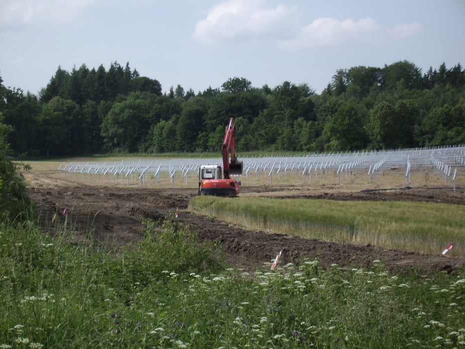
Der Solar Wahn bei Eggingen. Ich habe nichts gegen Solar-Anlagen - im Gegenteil ! Aber in Afrika wäre die Ausbeute viel grösser und die Afrikaner würden die Module gern abstauben.
Die zu bauenden Leitungen wären ein weiterer Wirtschaftsfaktor und würden die Nationen zur Zusammenarbeit anregen.
Tour gallery
Tour map and elevation profile
Minimum height 460 m
Maximum height 687 m
More about the tour author
|
|
painfully58 |
Comments

GPS tracks
Trackpoints-
GPX / Garmin Map Source (gpx) download
-
TCX / Garmin Training Center® (tcx) download
-
CRS / Garmin Training Center® (crs) download
-
Google Earth (kml) download
-
G7ToWin (g7t) download
-
TTQV (trk) download
-
Overlay (ovl) download
-
Fugawi (txt) download
-
Kompass (DAV) Track (tk) download
-
Track data sheet (pdf) download
-
Original file of the author (gpx) download
More about the tour author
|
|
painfully58 |
Add to my favorites
Remove from my favorites
Edit tags
Open track
My score
Rate