

Unser erster Tag unserer Tour durch den Thüringer Wald
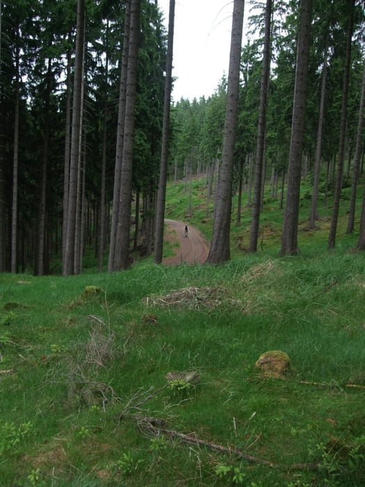
Start in Friedrichroda und gleich mal schick ein wenig hoch und runter mit Spitzkehren, da waren wir gleich gut warm. Dann der erste Anstieg nach Tambach mit abschließender Abfahrt. Hinter Tambach gleich wieder hoch zu den ersten beiden Stauseen bis nach Luisenthal. Dann knackig hoch Richtung Schmücke und rauf zum großen Beerberg. Damit haben wir den höchsten Punkt für heute erreicht und fahren über ein sehr schönes Stück des bekannten Rennsteigs und weiter zum Tagesziel dem Hotel in Schmiedefeld.
absolut empfehlenswerte geführte Tour durch TBA Thüringer Bike Abenteuer (http://tba-bike.de)
Further information at
http://tba-bike.de/index.htmlTour gallery

Tour map and elevation profile
Minimum height 431 m
Maximum height 1002 m
More about the tour author
|
|
HKapp |
Comments

GPS tracks
Trackpoints-
GPX / Garmin Map Source (gpx) download
-
TCX / Garmin Training Center® (tcx) download
-
CRS / Garmin Training Center® (crs) download
-
Google Earth (kml) download
-
G7ToWin (g7t) download
-
TTQV (trk) download
-
Overlay (ovl) download
-
Fugawi (txt) download
-
Kompass (DAV) Track (tk) download
-
Track data sheet (pdf) download
-
Original file of the author (gpx) download
More about the tour author
|
|
HKapp |
Add to my favorites
Remove from my favorites
Edit tags
Open track
My score
Rate