


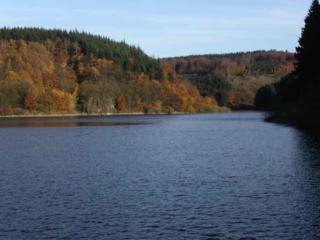
Von Volmarstein über Hagen am Feilichtmuseum vorbei durchs Mäckingerbachtal nach Zurstraße, dann weiter nach Breckerfeld. Zurück um die Hasper-Talsperre (war wegen Baumfällarbeiten für mich nicht möglich, normalerweise aber auch ohne GPS kein Problem) nach Haspe. Überwiegend Waldwege. Teilweise weinge Haupstraßen. 4 Höhenzüge sind zu überwinden.
Tour gallery
Tour map and elevation profile
Minimum height 122 m
Maximum height 407 m
More about the tour author

|
Klaus Enke |
Comments

Start in Volmarstein auf dem Parkplatz der Evangelischen Stiftung (aus allen Richtungen beschildert).
GPS tracks
Trackpoints-
GPX / Garmin Map Source (gpx) download
-
TCX / Garmin Training Center® (tcx) download
-
CRS / Garmin Training Center® (crs) download
-
Google Earth (kml) download
-
G7ToWin (g7t) download
-
TTQV (trk) download
-
Overlay (ovl) download
-
Fugawi (txt) download
-
Kompass (DAV) Track (tk) download
-
Track data sheet (pdf) download
-
Original file of the author (gpx) download
More about the tour author
|
|
Klaus Enke |
Add to my favorites
Remove from my favorites
Edit tags
Open track
My score
Rate