
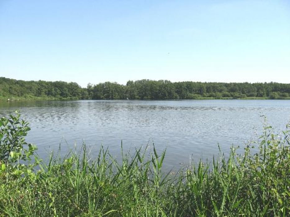

Die Tour führt über Süchteln und deren Höhen zu den Krickenbecker Seen,Schloß Krickenbeck und anschließend nach Grefrath und zurück an der Niers bis nach Süchteln. Bis auf wenige Ausnahmen werden vorallem gut asphaltierte Wald- und Feldwege ohne viel Verkhr befahren. Durch die Steigungen bei den Süchtelner Höhen kann man für die Region relativ viele Höhenmeter für die KM-Zahl zusammenfahren..Zwischendruch passiert man zahlreiche Einkehrmöglichkeiten.
Tour gallery

Tour map and elevation profile
Minimum height 47 m
Maximum height 143 m
More about the tour author
|
|
transalper09 |
Comments

Startpunkt ist am Restaurant Hindenbrug in Süchteln an der Hindenburgstraße!!
GPS tracks
Trackpoints-
GPX / Garmin Map Source (gpx) download
-
TCX / Garmin Training Center® (tcx) download
-
CRS / Garmin Training Center® (crs) download
-
Google Earth (kml) download
-
G7ToWin (g7t) download
-
TTQV (trk) download
-
Overlay (ovl) download
-
Fugawi (txt) download
-
Kompass (DAV) Track (tk) download
-
Track data sheet (pdf) download
-
Original file of the author (gpx) download
More about the tour author
|
|
transalper09 |
Add to my favorites
Remove from my favorites
Edit tags
Open track
My score
Rate