

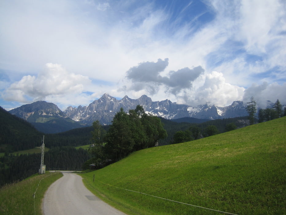
Ausgangspunkt: Hotel Annelies Ramsau/Kulm: Über Nebenstraße nach Schladming und weiter über Hochstraße und Ennsradweg nach Forstau. Von dort über sehr schönen Weg nach Pichl zurück. Dann auf Ennradweg Richtung Radstadt. Von dort über Nebenstraße nach Filzmoos. Von Stausee in die Ramsau zurück. Technisch leichte Tour. Landschaftlich sehr schön!
Further information at
http://www.hotel-annelies.atTour gallery
Tour map and elevation profile
Minimum height 771 m
Maximum height 1204 m
More about the tour author
|
|
Hotel_Annelies |
Comments

Ausgangspunkt Hotel Annelies Ramsau/Kulm: Parkmöglichkeit: Vor Sportmoden Schrempf oder TV Kulm
GPS tracks
Trackpoints-
GPX / Garmin Map Source (gpx) download
-
TCX / Garmin Training Center® (tcx) download
-
CRS / Garmin Training Center® (crs) download
-
Google Earth (kml) download
-
G7ToWin (g7t) download
-
TTQV (trk) download
-
Overlay (ovl) download
-
Fugawi (txt) download
-
Kompass (DAV) Track (tk) download
-
Track data sheet (pdf) download
-
Original file of the author (gpx) download
More about the tour author
|
|
Hotel_Annelies |
Add to my favorites
Remove from my favorites
Edit tags
Open track
My score
Rate