


Von Rosental nach Neukirchen und weiter nach Bramberg.
Durchs Mühlbachtal über 1300hm hoch zum Wildkogel. Ab der Geislgrundalm geht's über Serpentinen steil bergan bis zur Ganser Hochalm und dann zum Wildkogel.
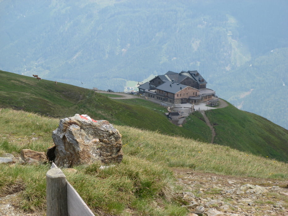
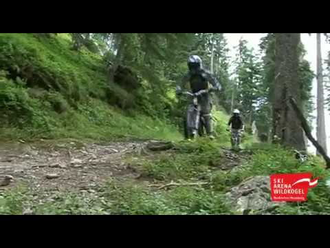
Am Wildkogelhaus befindet sich der Einstieg zum Wildkogeltrail. 1300hm Fahrspaß bergab.
Weils so schön war gleich nochmal mit dem Lift hoch und den Wildkogeltrail erneut hinab, aber zwischendrinn nach rechts abbiegen um den Neukircher Channel zum Abschluss nochmals fahren zu können.
Zurück nach Rosental.
Tour gallery
Tour map and elevation profile
Minimum height 821 m
Maximum height 2121 m
More about the tour author
|
|
martinvollmar |
Comments

GPS tracks
Trackpoints-
GPX / Garmin Map Source (gpx) download
-
TCX / Garmin Training Center® (tcx) download
-
CRS / Garmin Training Center® (crs) download
-
Google Earth (kml) download
-
G7ToWin (g7t) download
-
TTQV (trk) download
-
Overlay (ovl) download
-
Fugawi (txt) download
-
Kompass (DAV) Track (tk) download
-
Track data sheet (pdf) download
-
Original file of the author (gpx) download
More about the tour author
|
|
martinvollmar |
Add to my favorites
Remove from my favorites
Edit tags
Open track
My score
Rate