
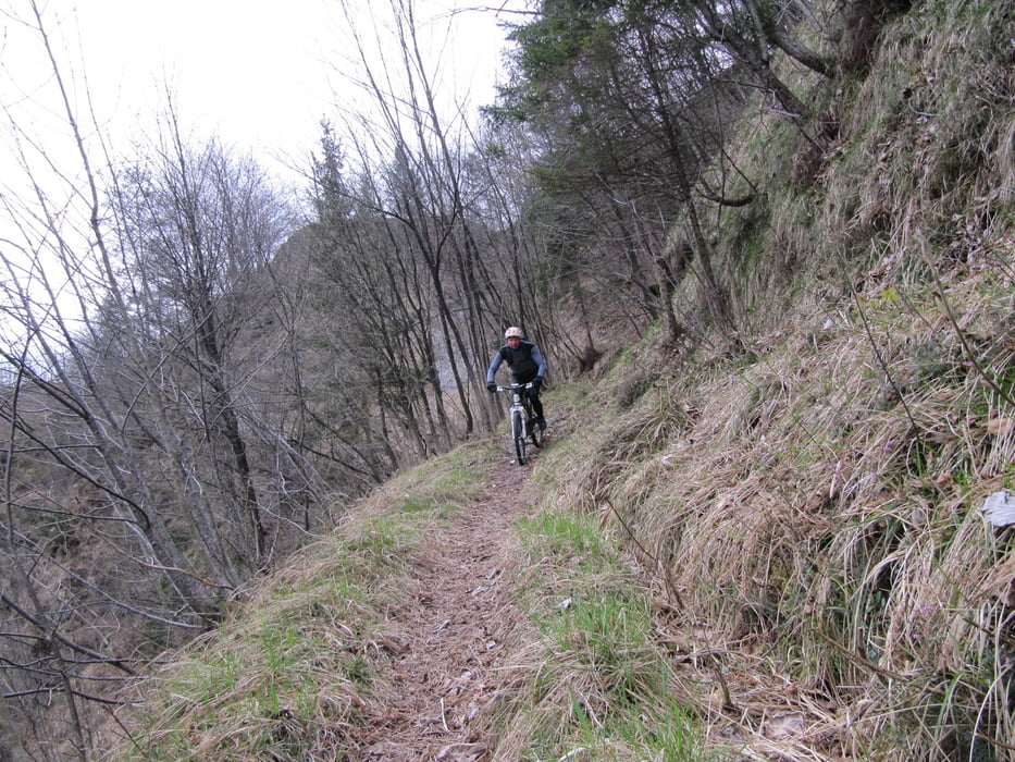

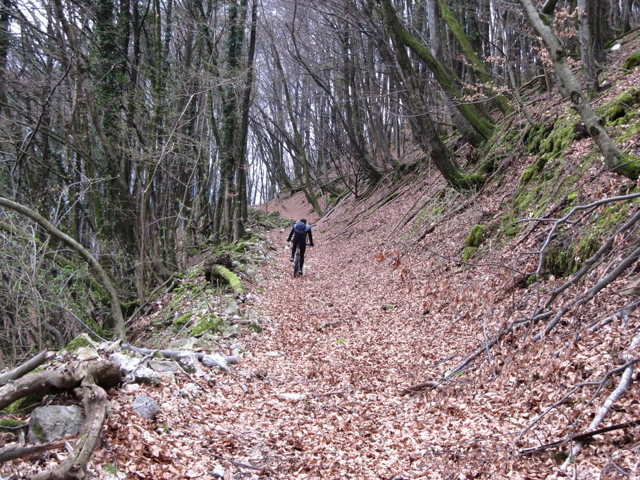
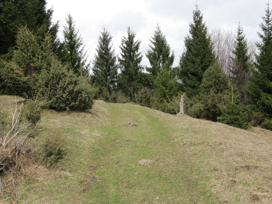
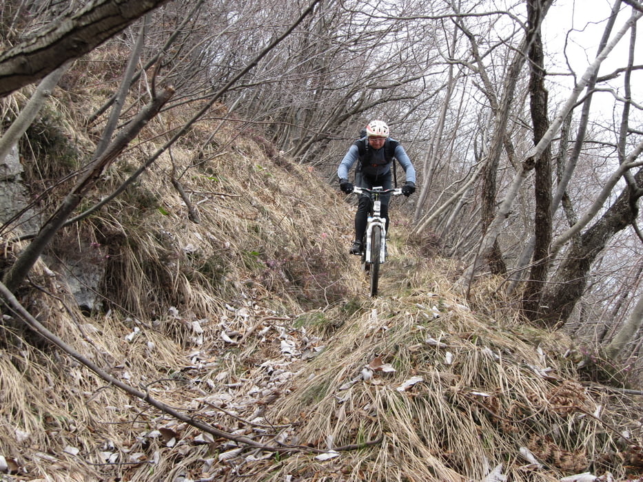
Iz Dolenje Trebuše ob reki Idrici po lepi singli proti Slapu na Idrijci, naprej pa po mulatjeri približno 300 vm. Ko pridemo na asfalt se v blagem vsponu zapeljemo v čepovansko dolino, sredi doline zavijemo levo proti Podčepovanu, pred vasjo poiščemo pot ki nas popelje na sedlo Drnulk. Tukaj zavijemo zopet levo proti Vršam, najprej po grobem in strmem makadamu ki pa se kmalu konča, potem pa po lepih travnatih kolovozih proti vrhu Skopice. Od tu naprej pa po lepi singli v Dolenjo Trebušo
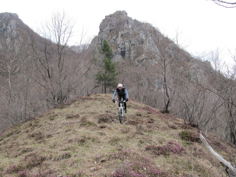
Tour gallery
Tour map and elevation profile
Minimum height 171 m
Maximum height 882 m
More about the tour author
|
|
BOR-M |
Comments

GPS tracks
Trackpoints-
GPX / Garmin Map Source (gpx) download
-
TCX / Garmin Training Center® (tcx) download
-
CRS / Garmin Training Center® (crs) download
-
Google Earth (kml) download
-
G7ToWin (g7t) download
-
TTQV (trk) download
-
Overlay (ovl) download
-
Fugawi (txt) download
-
Kompass (DAV) Track (tk) download
-
Track data sheet (pdf) download
-
Original file of the author (gpx) download
More about the tour author
|
|
BOR-M |
Add to my favorites
Remove from my favorites
Edit tags
Open track
My score
Rate