


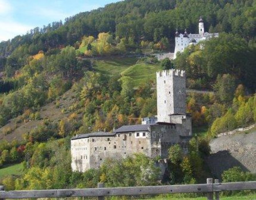
Gestartet wird vom Hauptplatz der mittelalterlichen Stadt Glurns (sehr sehenswert), weiter geht's entlang der Etsch auf dem Vinschger Radweg bis nach Laatsch. Von dort fuehrt der Radweg nach Schleis bis Burgeis vorbei an der Fuerstenburg.
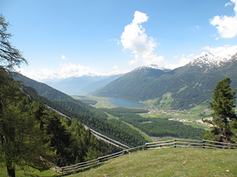
Es geht immer weiter auf dem Radweg Richtung St. Valentin auf der Haide.Von dort aus fuehrt der Radweg Richtung Kaschon-Schoeneben bis zur Haideralm.
Von der Haideralm gehts wieder auf dem Radweg zurueck nach Mals (sehr sehenswert) und Glurns zum Hauptplatz.
Further information at
http://www.suedtirol-it.com/mals/Tour gallery

Tour map and elevation profile
Minimum height 99999 m
Maximum height -99999 m
More about the tour author
|
|
OliTommi |
Comments

GPS tracks
Trackpoints-
GPX / Garmin Map Source (gpx) download
-
TCX / Garmin Training Center® (tcx) download
-
CRS / Garmin Training Center® (crs) download
-
Google Earth (kml) download
-
G7ToWin (g7t) download
-
TTQV (trk) download
-
Overlay (ovl) download
-
Fugawi (txt) download
-
Kompass (DAV) Track (tk) download
-
Track data sheet (pdf) download
-
Original file of the author (gpx) download
More about the tour author
|
|
OliTommi |
Add to my favorites
Remove from my favorites
Edit tags
Open track
My score
Rate