Login

Forgot your login?

Cookies have to be accepted!
Your browser's cookie functionality is disabled. Please enable this functionality.

Not a member yet?

Register now
Login

Available for registred users only

Log in to use this feature.

Forgot your login?

Cookies have to be accepted!
Your browser's cookie functionality is disabled. Please enable this functionality.

Not a member yet?

Register now
Filter
Categories
Advanced filters
  • Distance (km)
  • Height
Save filters Reset filter

TrackRank

QRCode

Technical data

Distance43,5 km Height6660 m Way down6462 m Duration03:00 h:m Date19.11.2006
Scores Author Landscape Fun factor Fitness Technique

Statistics

624 Views Scores 118 Downloads Average
Rate
  • Track data sheet
  • Directions
  • Downloads
Starthöhe ca. 900Hm. Wir sind mit den Fahrzeugen hochgefahren. Achtung die Tour ist etwas durch die Radaranlagen gestört. Es gibt dort oben aber gut beschilderte Mountainbikewege.

Further information at
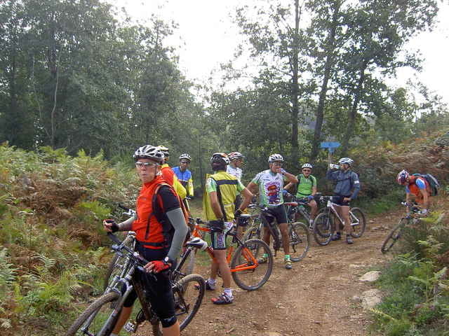
http://www.bitou.eu

Tour gallery

Tour map and elevation profile

  • Open Street Map
  • Google
Minimum height -146 m Maximum height 1691 m Detailed view

More about the tour author

winklem
Member since 2005

Send private message

Comments

Start am Picknickplatz oberhalb von Falerna.

GPS tracks

Trackpoints
  • GPX / Garmin Map Source (gpx) download
  • TCX / Garmin Training Center® (tcx) download
  • CRS / Garmin Training Center® (crs) download
  • Google Earth (kml) download
  • G7ToWin (g7t) download
  • TTQV (trk) download
  • Overlay (ovl) download
  • Fugawi (txt) download
  • Kompass (DAV) Track (tk) download
  • Track data sheet (pdf) download
  • Original file of the author (g7t) download

More about the tour author

winklem
Member since 2005

Send private message
Share track
Add to my favorites
Remove from my favorites
Edit tags
My score
Rate
Track: Runde um die Radaranlagen von Falerna
Type: Mountain bike
Distance: 43,5 km
Evaluated on:
Duration:
Day(s)
Hour(s)
Minute(s)
Score: Landscape Fun factor Fitness Technique