


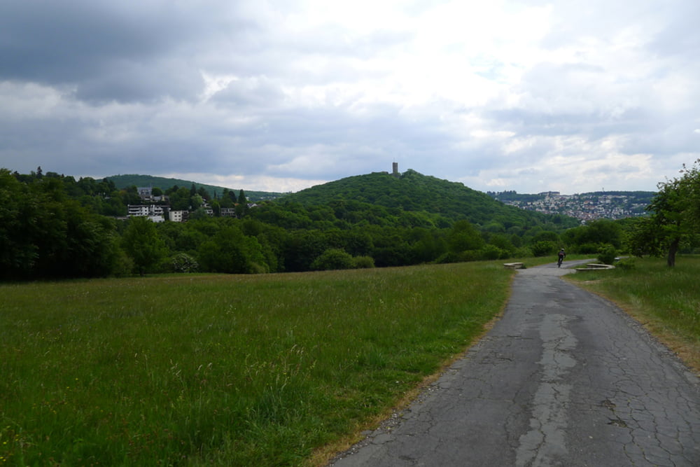
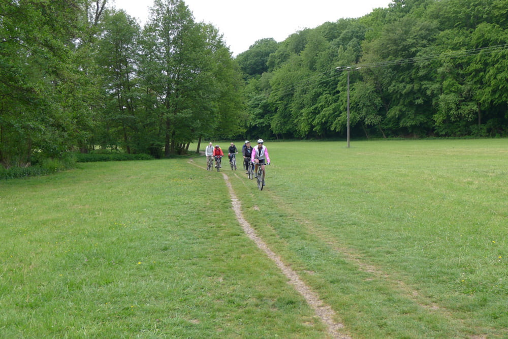
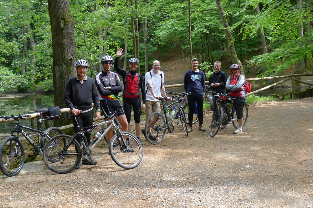
Radtour zur Roten Mühle am Liederbach 15.05.2011
Die Tour ist geeignet für Touren/Trekkingrad und stellt vom Technischen Anspruch keine großen Anforderungen an den Fahrer. Im Allgemeinen werden Wald und Wiesenwege befahren. In der angegebenen Fahrzeit von 4 Std. ist bereits eine gemütliche Pause in der Roten Mühle einkalkuliert.
Viel Spaß beim nachfahren
Further information at
http://www.zur-roten-muehle.de/index.htmTour gallery
Tour map and elevation profile
Minimum height 232 m
Maximum height 515 m
More about the tour author
|
|
Marko S |
Comments

GPS tracks
Trackpoints-
GPX / Garmin Map Source (gpx) download
-
TCX / Garmin Training Center® (tcx) download
-
CRS / Garmin Training Center® (crs) download
-
Google Earth (kml) download
-
G7ToWin (g7t) download
-
TTQV (trk) download
-
Overlay (ovl) download
-
Fugawi (txt) download
-
Kompass (DAV) Track (tk) download
-
Track data sheet (pdf) download
-
Original file of the author (gpx) download
More about the tour author
|
|
Marko S |
Add to my favorites
Remove from my favorites
Edit tags
Open track
My score
Rate