


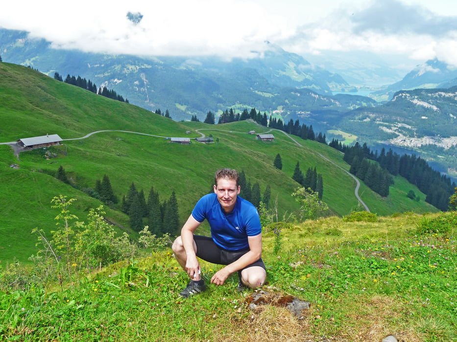
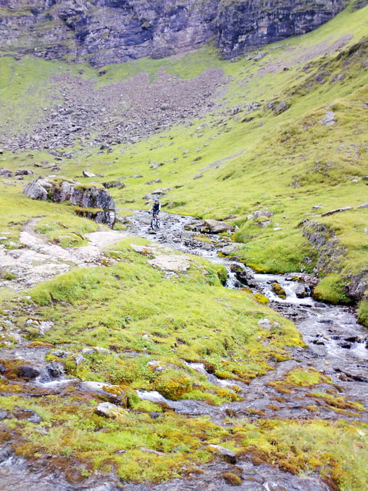
Eine Supi Tour gestartet von der Axalp und wieder auf Ihr zurück gekehrt!Für mich als Flachländler war der Aufstieg zurück zur Axalp am Kräftezehrendsten.Hat aber trotz allem viel viel Spass gemacht und mann konnte eine super Aussicht genießen.Absolut empfehlenswert!Auch hat hier wieder die Technik teilweise gestreikt,ein paar kleine Teile in der Streckenführung fehlen (kein Problem) und es sind die Höhenangaben um ca. 300 bis 400m zu gering!
Tour gallery


Tour map and elevation profile
Minimum height 384 m
Maximum height 1523 m
More about the tour author
|
|
OleGunnar |
Comments

GPS tracks
Trackpoints-
GPX / Garmin Map Source (gpx) download
-
TCX / Garmin Training Center® (tcx) download
-
CRS / Garmin Training Center® (crs) download
-
Google Earth (kml) download
-
G7ToWin (g7t) download
-
TTQV (trk) download
-
Overlay (ovl) download
-
Fugawi (txt) download
-
Kompass (DAV) Track (tk) download
-
Track data sheet (pdf) download
-
Original file of the author (gpx) download
More about the tour author
|
|
OleGunnar |
Add to my favorites
Remove from my favorites
Edit tags
Open track
My score
Rate