


This tour should start correct in Ramzova pass (railway station, main road), but I forgot switch GPS on..... The total climbing (2740 m), lenght (60 km) and duration (18 hours) are valid therefore for tour Ramzova - Skritek.
*************************************************
Spravne by mela tato trasa zacinat v sedle Ramzova (vlakova zastavka, hlavni silnice), ale zapomnel jsem zapnout GPS... Uvedene technicke udaje (stoupani, delka trasy a trvani trasy) plati tudiz pro trasu Ramzova - Skritek.
*************************************************
Spravne by mela tato trasa zacinat v sedle Ramzova (vlakova zastavka, hlavni silnice), ale zapomnel jsem zapnout GPS... Uvedene technicke udaje (stoupani, delka trasy a trvani trasy) plati tudiz pro trasu Ramzova - Skritek.
Further information at
http://www.czex.cz/zbartosTour gallery
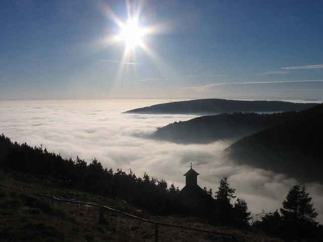
Tour map and elevation profile
Minimum height 757 m
Maximum height 1498 m
More about the tour author
|
|
zbartos |
Comments

jog
on 20.06.2007
Pekna trasa az na to, ze na dobrou pulku je oficialne vjezd cyklistum zakazan...
zbartos
on 03.02.2008
Co blbneš, kdo tu píše o kole ? Šel jsem to pěšky a je to i v kategorii Moutain tour, což je česky horská tůra a ne horské kolo.....
The prolongation to village Karlov is not necessary. It is better to keep the main ridge all the time (from the hutt Ovcarna climb the top of the ridge).
*************************************
Prodlouzeni do vsi Karlov neni nutne ani vhodne. Je lepsi se drzet stale hlavniho hrebene (tedy z Ovcarny vyjit az na hlavni hreben).
*************************************
Prodlouzeni do vsi Karlov neni nutne ani vhodne. Je lepsi se drzet stale hlavniho hrebene (tedy z Ovcarny vyjit az na hlavni hreben).
GPS tracks
Trackpoints-
GPX / Garmin Map Source (gpx) download
-
TCX / Garmin Training Center® (tcx) download
-
CRS / Garmin Training Center® (crs) download
-
Google Earth (kml) download
-
G7ToWin (g7t) download
-
TTQV (trk) download
-
Overlay (ovl) download
-
Fugawi (txt) download
-
Kompass (DAV) Track (tk) download
-
Track data sheet (pdf) download
-
Original file of the author (gpx) download
More about the tour author
|
|
zbartos |
Add to my favorites
Remove from my favorites
Edit tags
Open track
My score
Rate