


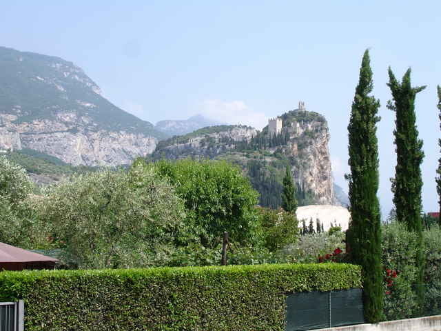
Von Ausgangspunkt Hotel da Gino in Bezzeca geht es über die Pönalestrasse hinunter nach Riva. Von dort geht es weiter über einen gemütlichen Radweg nach Arco. Am Naturpark (der sich für eine kurze Ruhepauase anbietet) vorbei geht es durch Olivenhaine bis zu einer Strasse. Der in der GPS Datei angegebene Wegpunkt Wasser bietet sich zum Auffüllen der Waservorräte an. Auf einem Waldpfad mit etwas ruppiger Abfahrt (teilweise Schiebstrecke) geht es zurück nach Arco und wieder via Riva und die Pönalstrasse hinauf zum Ledrosee, wo man die Tour mit einem Bad im See abschliessen kann.
Tour gallery
Tour map and elevation profile
Minimum height 71 m
Maximum height 700 m
More about the tour author

|
Wilk |
Comments

mit dem Auto nach Riva und hinauf zum Ledrosee. Auf der rechten Uferstrasse nach Bezzeca zum Hotel da Gino (http://www.gardaqui.net/hoteldagino/ita/default.htm) in dem man gut üernachten und essen kann.
GPS tracks
Trackpoints-
GPX / Garmin Map Source (gpx) download
-
TCX / Garmin Training Center® (tcx) download
-
CRS / Garmin Training Center® (crs) download
-
Google Earth (kml) download
-
G7ToWin (g7t) download
-
TTQV (trk) download
-
Overlay (ovl) download
-
Fugawi (txt) download
-
Kompass (DAV) Track (tk) download
-
Track data sheet (pdf) download
-
Original file of the author (gpx) download
More about the tour author
|
|
Wilk |
Add to my favorites
Remove from my favorites
Edit tags
Open track
My score
Rate