


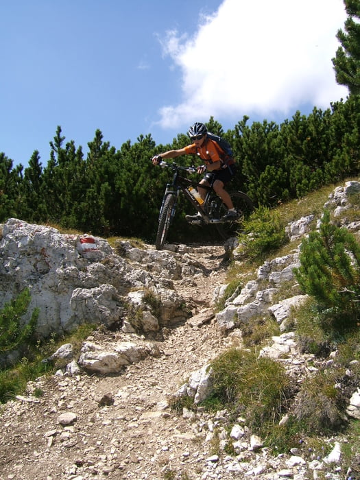
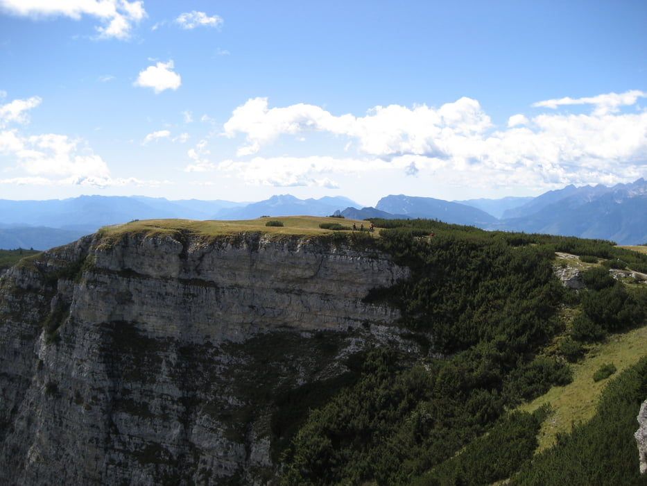
Die Tour besitzt alles, um einen richtig zu fordern. Kurz nach Tramin geht es schon mit 22% bergauf. Am Mendelpaß angekommen geht der Spaß erst richtig los! Die letzten zwei Kilometer vor der Roenspitze halten noch 400 Höhenmeter bereit. Alles auf Schotter, schön verblockt. Am Gipfel wirst du aber mit einem herrlichen Ausblick auf Ortler, Brenta, Dolomiten und Alpenhauptkamm entlohnt. Ein paar Kilometer Downhill auf Single Trails dürfen natürlich auch nicht fehlen. Es sind "nur" noch 19 km Single Trail hinab bis Tramin!
Further information at
http://www.traminerhof.it/deutsch/mountainbike/touren/mountainbike-touren/roen.htmlTour gallery

Tour map and elevation profile
Minimum height 171 m
Maximum height 2115 m
More about the tour author
|
|
Armin Pomella |
Comments
Über die Brennerautobahn bis zur Ausfahrt Auer/Neumarkt/Tramin, dann weiter 4 km bis Tramin. Parken im Hotel Traminer Hof.
GPS tracks
Trackpoints-
GPX / Garmin Map Source (gpx) download
-
TCX / Garmin Training Center® (tcx) download
-
CRS / Garmin Training Center® (crs) download
-
Google Earth (kml) download
-
G7ToWin (g7t) download
-
TTQV (trk) download
-
Overlay (ovl) download
-
Fugawi (txt) download
-
Kompass (DAV) Track (tk) download
-
Track data sheet (pdf) download
-
Original file of the author (gpx) download
More about the tour author
|
|
Armin Pomella |
Add to my favorites
Remove from my favorites
Edit tags
Open track
My score
Rate
sehr schöne Runde!
Wer ein paar Höhenmeter sparen möchte kann in Kaltern die Mendelpassbahn nehmen.