


Weitere Bilder zu der Tour gibt es hier: www.panoramio.com/photo/37402410
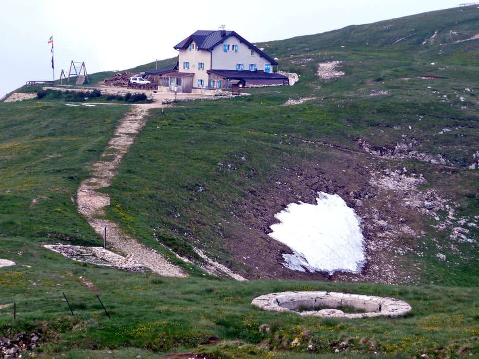
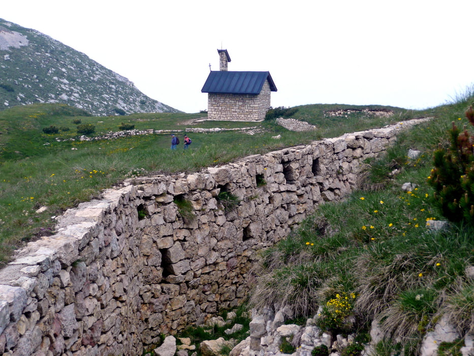
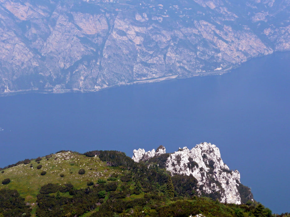
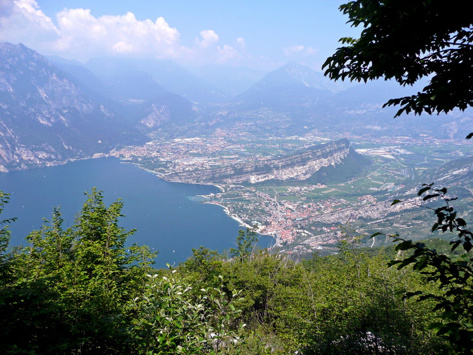
Bequem fährt man mit der Seilbahn von Malcesine direkt auf den Monte Baldo. Von dort geht es abwärts bis zur Straße. Von Bocca Navene folgen wir der Straße aufwärts bis zur nächsten Kehre mit der Berghütte "Graziani" . Von dort führt ein 4 km langer Schotterweg zum Rifugio Damiano Chiesa (Rif. Altissimo) auf 2060 m – Schieben ist in der Regel angesagt. Die Aussicht rundum ist wunderbar. Anzuschauen sind auch die Überreste der aus dem 1. Weltkrieg stammenden Militärwachtposten. Abwärts geht es über den Wanderweg 601, teilweise muss geschoben werden. Danach folgt eine Schotterpiste, anschließend geht es permanent auf einer kleinen Teerstraße in Serpentinen runter nach Torbole www.torbole.com/, zum Schluss durch Olivenhaine.
Weitere Infos unter www.lagodigardamagazine.com/trekking-gardasee-monte-altissimo-navene.aspx
Further information at
http://www.gardasee.comTour gallery
Tour map and elevation profile
Minimum height 100 m
Maximum height 2064 m
More about the tour author
|
|
MatthiasBy |
Comments

Der Start ist an der Seilbahn in Malecesine www.funiviedelbaldo.it/. Geendet wird in Torbole.
Parken ist möglich auf den kostenpflichtigen Parkplätzen. Weiter entfernt in den Wohngebieten sind auch kostenfreie Parkplätze zu finden.
GPS tracks
Trackpoints-
GPX / Garmin Map Source (gpx) download
-
TCX / Garmin Training Center® (tcx) download
-
CRS / Garmin Training Center® (crs) download
-
Google Earth (kml) download
-
G7ToWin (g7t) download
-
TTQV (trk) download
-
Overlay (ovl) download
-
Fugawi (txt) download
-
Kompass (DAV) Track (tk) download
-
Track data sheet (pdf) download
-
Original file of the author (gpx) download
More about the tour author
|
|
MatthiasBy |
Add to my favorites
Remove from my favorites
Edit tags
Open track
My score
Rate