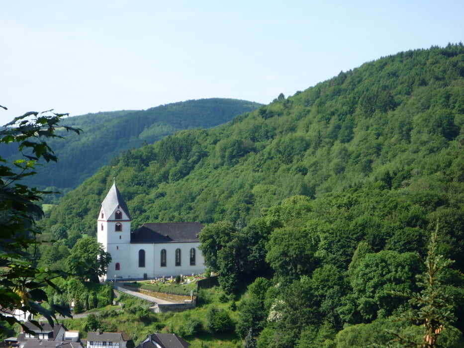
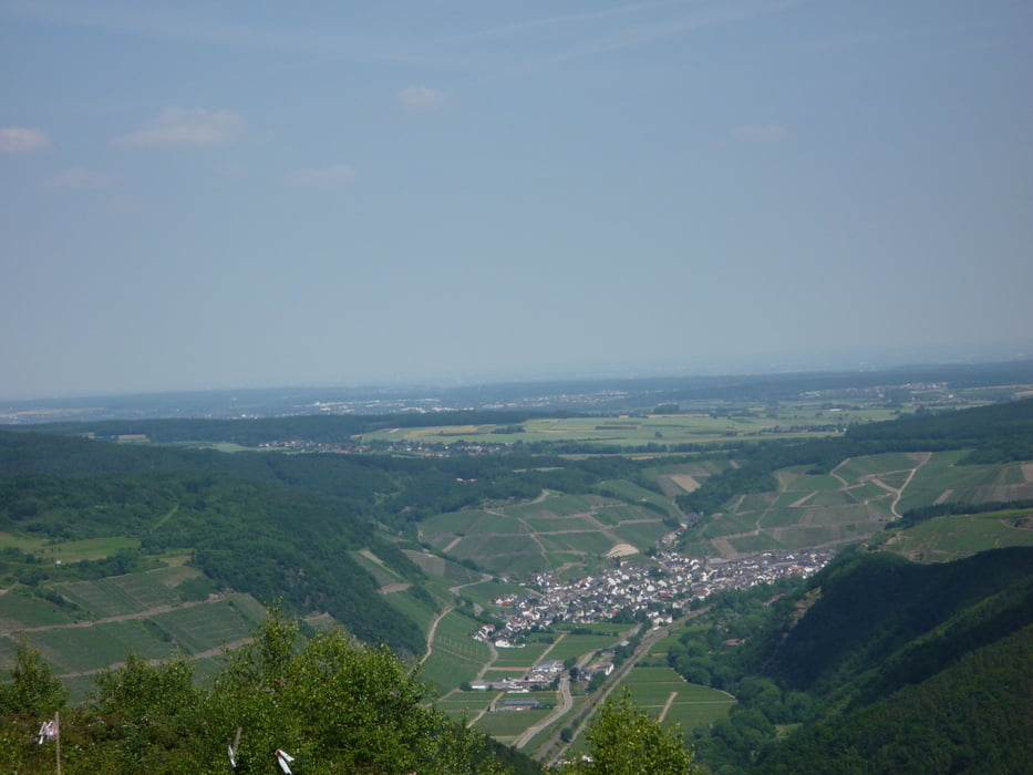
Login

Forgotten password?

Cookies have to be accepted!
Your browser's cookie functionality is disabled. Please enable this functionality.

Not a member yet?

Register now
Login

Available for registred users only

Log in to use this feature.

Forgotten password?

Cookies have to be accepted!
Your browser's cookie functionality is disabled. Please enable this functionality.

Not a member yet?

Register now
Filter
Categories
Advanced filters
  • Distance (km)
  • Height
Save filters Reset filter

TrackRank

QRCode

Technical data

Distance25,4 km Height807 m Way down771 m Duration06:00 h:m Date27.06.2010
Scores Author Landscape Fun factor Fitness Technique

Statistics

264 Views Scores 52 Downloads Average
Rate
  • Track data sheet
  • Directions
  • Downloads

Tour gallery

Tour map and elevation profile

  • Open Street Map
  • Google
Minimum height 111 m Maximum height 531 m Detailed view

More about the tour author

eifeljupp
Member since 2008

Send private message

Comments

Von der A 61 fahren wir die Abfahrt Bad Neuenahr / Ahrweiler auf die A 571 in Richtung Altenahr .  Von der A 571 kommt man zur  B 267, der wir bis hinter Waporzheim folgen . Nach links biegen wir auf die Ahruferstraße ab, die nach 250 Meter auf dem Parkplatz endet .

GPS tracks

Trackpoints
  • GPX / Garmin Map Source (gpx) download
  • TCX / Garmin Training Center® (tcx) download
  • CRS / Garmin Training Center® (crs) download
  • Google Earth (kml) download
  • G7ToWin (g7t) download
  • TTQV (trk) download
  • Overlay (ovl) download
  • Fugawi (txt) download
  • Kompass (DAV) Track (tk) download
  • Track data sheet (pdf) download
  • Original file of the author (gpx) download

More about the tour author

eifeljupp
Member since 2008

Send private message
Share track
Add to my favorites
Remove from my favorites
Edit tags
My score
Rate
Track: Walporzheim-Staffel-Steinerberghaus-Walporzheim
Type: Hiking
Distance: 25,4 km
Evaluated on:
Duration:
Day(s)
Hour(s)
Minute(s)
Score: Landscape Fun factor Fitness Technique