Login

Forgot your login?

Cookies have to be accepted!
Your browser's cookie functionality is disabled. Please enable this functionality.

Not a member yet?

Register now
Login

Available for registred users only

Log in to use this feature.

Forgot your login?

Cookies have to be accepted!
Your browser's cookie functionality is disabled. Please enable this functionality.

Not a member yet?

Register now
Filter
Categories
Advanced filters
  • Distance (km)
  • Height
Save filters Reset filter

TrackRank

QRCode

Technical data

Distance24,9 km Height1279 m Way down1262 m Duration04:30 h:m Date27.06.2010
Scores Author Landscape Fun factor Fitness Technique

Statistics

3927 Views Scores 55 Downloads Average
Rate
  • Track data sheet
  • Directions
  • Downloads

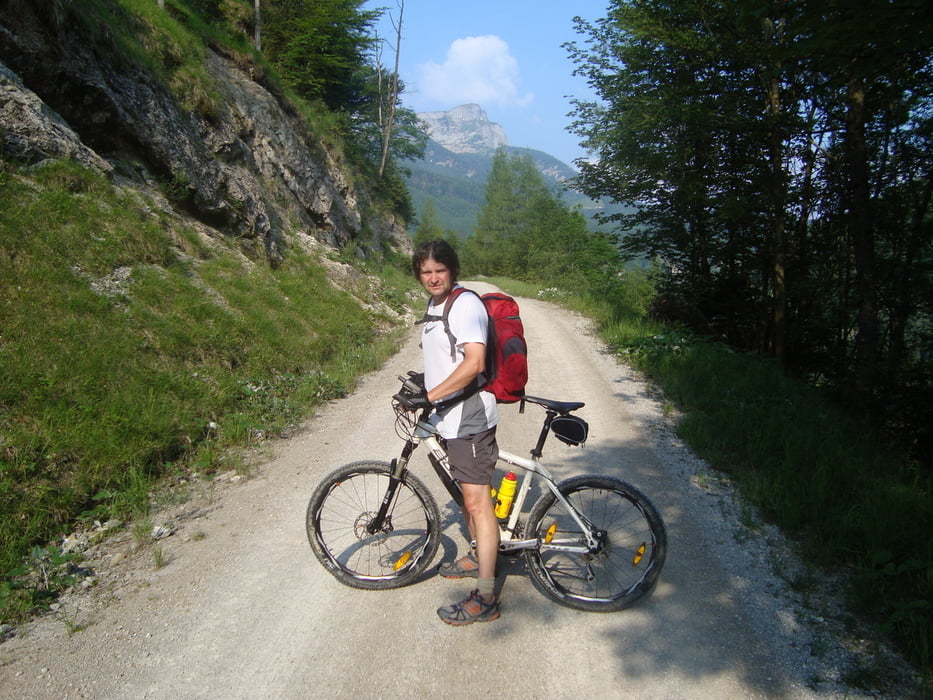
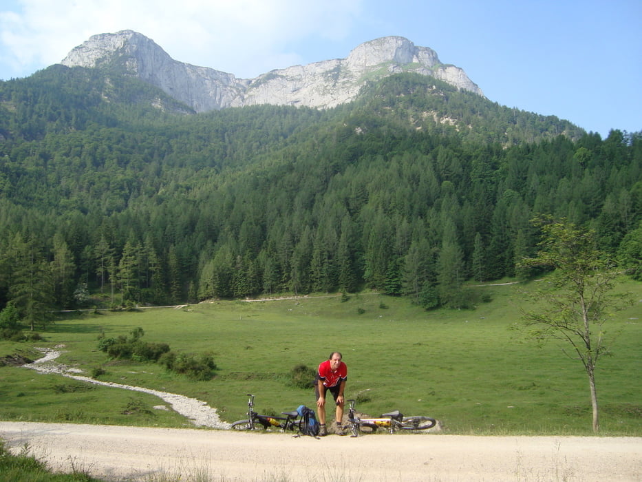
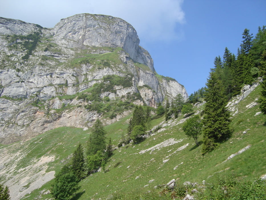
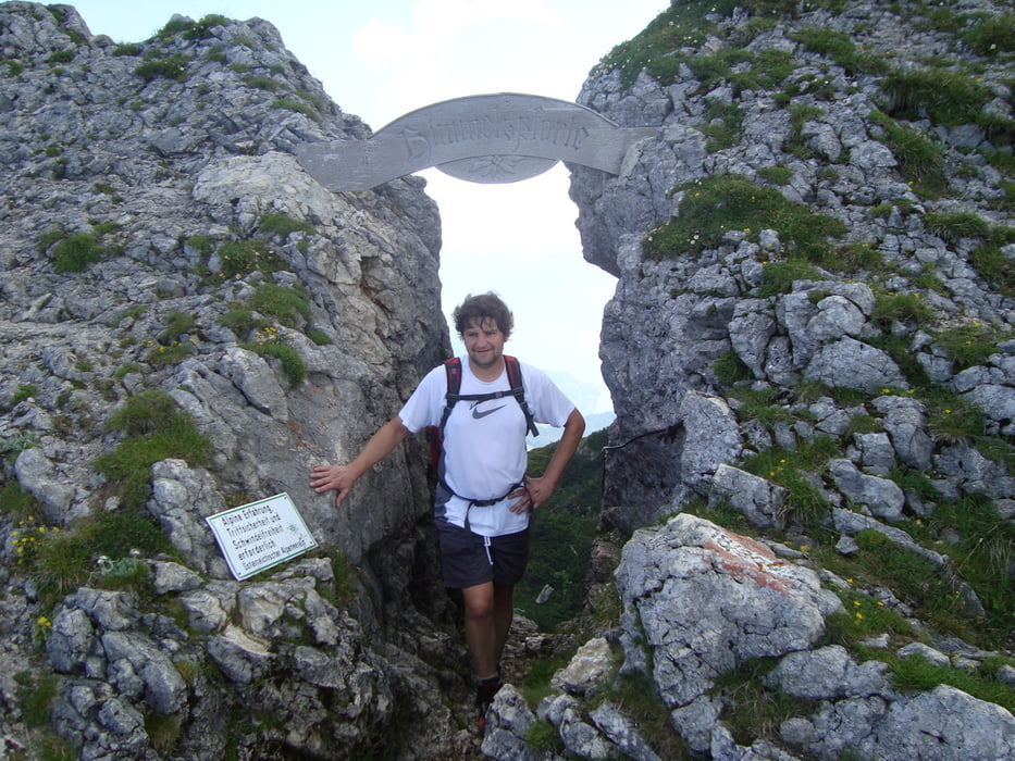
Ausgangspunkt ist ein öffentlicher Parkplatz der neuen Umfahrung in Unterach am Attersee.Mit dem Mountainbike geht es 10km auf einer Forststrasse 500hm hinauf zur Eisenaueralm. Fahrtzeit 1 Stunde. Bikes absperren!!  Zu Fuß geht es weiter am Wanderweg auf den Schafberg. Zuerst eine Stunde durch den Wald dann rechts den Weg entlang  sehr schöner Aussicht. Etwas Trittsicherheit ist gefragt.


Mehr Bilder unter:   seppdepp.heim.at


Tour gallery

Tour map and elevation profile

  • Open Street Map
  • Google
Minimum height 500 m Maximum height 1775 m Detailed view

More about the tour author

Atzbach
Member since 2009

Send private message

Comments

GPS tracks

Trackpoints
  • GPX / Garmin Map Source (gpx) download
  • TCX / Garmin Training Center® (tcx) download
  • CRS / Garmin Training Center® (crs) download
  • Google Earth (kml) download
  • G7ToWin (g7t) download
  • TTQV (trk) download
  • Overlay (ovl) download
  • Fugawi (txt) download
  • Kompass (DAV) Track (tk) download
  • Track data sheet (pdf) download
  • Original file of the author (gpx) download

More about the tour author

Atzbach
Member since 2009

Send private message
Share track
Add to my favorites
Remove from my favorites
Edit tags
My score
Rate
Track: Eisenau - Schafberg
Type: Mountain hiking
Distance: 24,9 km
Evaluated on:
Duration:
Day(s)
Hour(s)
Minute(s)
Score: Landscape Fun factor Fitness Technique