Login

Forgot your login?

Cookies have to be accepted!
Your browser's cookie functionality is disabled. Please enable this functionality.

Not a member yet?

Register now
Login

Available for registred users only

Log in to use this feature.

Forgot your login?

Cookies have to be accepted!
Your browser's cookie functionality is disabled. Please enable this functionality.

Not a member yet?

Register now
Filter
Categories
Advanced filters
  • Distance (km)
  • Height
Save filters Reset filter

TrackRank

QRCode

Technical data

Distance21,6 km Height701 m Way down688 m Duration02:30 h:m Date27.06.2010
Scores Author User Landscape Fun factor Fitness Technique

Statistics

728 Views 1 Score 109 Downloads 3.00 Average
Rate
  • Track data sheet
  • Directions
  • Downloads

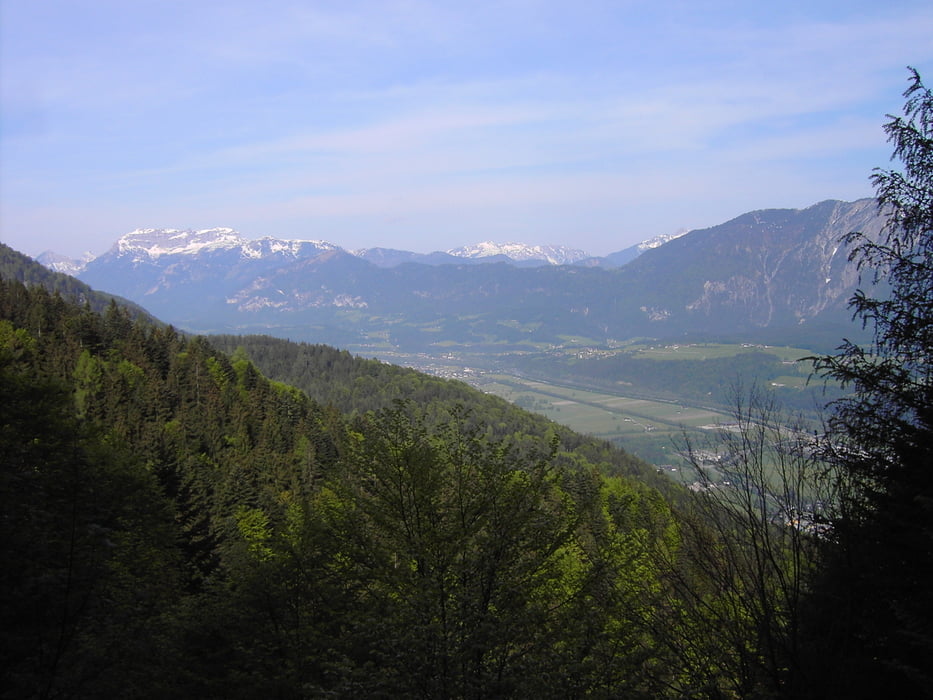
 Schoene kleine Runde in der WSA,

vom Sonnberg in Richtung Zauberwinkel und dann ueber Niederau,

zur Jausenstation Schrofen und dann in Richtung Moeslalmkogel,

dann durch Wald und ueber Schotterwege wieder zurueck nach Niederau,

und rauf auf den Sonnberg ;-)

Further information at

http://www.wildschoenau.com/sport/sommer/de/tmp_1_604890070/Mountainbiken_Wildschonau_detail.aspx

Tour gallery

Tour map and elevation profile

  • Open Street Map
  • Google
Minimum height 755 m Maximum height 1070 m Detailed view

More about the tour author

MarkusW22
Member since 2008

Send private message

Comments

basvankan on 07.08.2017

Nice tour

Did the eight today +some more. Thank you!

GPS tracks

Trackpoints
  • GPX / Garmin Map Source (gpx) download
  • TCX / Garmin Training Center® (tcx) download
  • CRS / Garmin Training Center® (crs) download
  • Google Earth (kml) download
  • G7ToWin (g7t) download
  • TTQV (trk) download
  • Overlay (ovl) download
  • Fugawi (txt) download
  • Kompass (DAV) Track (tk) download
  • Track data sheet (pdf) download
  • Original file of the author (gpx) download

More about the tour author

MarkusW22
Member since 2008

Send private message
Share track
Add to my favorites
Remove from my favorites
Edit tags
My score
Rate
Track: Die "Acht" um die Wildschoenau (Niederau)
Type: Mountain bike
Distance: 21,6 km
Evaluated on:
Duration:
Day(s)
Hour(s)
Minute(s)
Score: Landscape Fun factor Fitness Technique