


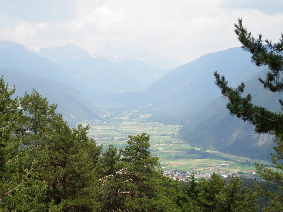
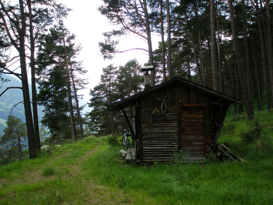
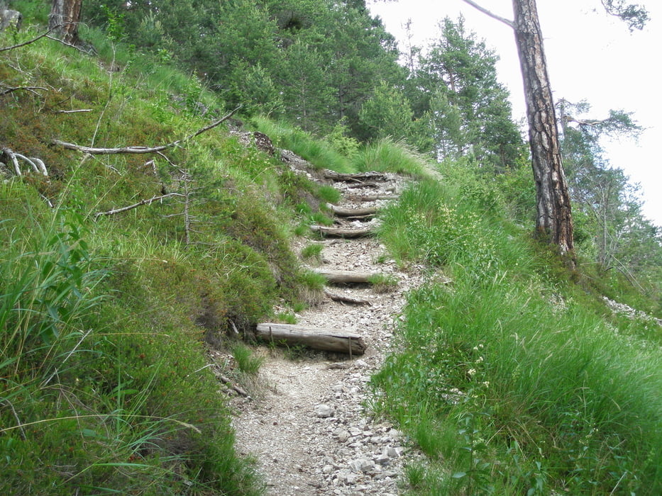
Start in Imst bei der Polizei. Auf der Strasse bis Hoch Imst. Am Lift vorbei auf der Forststrasse bis zur Abzweigung Hoisl Angerl (MTB Tour 618). Nun auf Forstwegen bis nach Gunglgrün. Dort bis zum Ende des Eibentalweges. Hier beginnt der Forstweg Richtung Mils. Der Forstweg führt bis über Mils auf ca. 1000 Höhenmeter. Vom Ende der Forststrasse auf einem Steig (Tragestrecke) hinunter nach Mils bis zur Kirche. Anschließend die Bundesstrasse überqueren und auf der Landesstrasse Schönwies-Imstberg zurück nach Imst.
Tour gallery
Tour map and elevation profile
Minimum height 718 m
Maximum height 1274 m
More about the tour author
|
|
simplon73 |
Comments

GPS tracks
Trackpoints-
GPX / Garmin Map Source (gpx) download
-
TCX / Garmin Training Center® (tcx) download
-
CRS / Garmin Training Center® (crs) download
-
Google Earth (kml) download
-
G7ToWin (g7t) download
-
TTQV (trk) download
-
Overlay (ovl) download
-
Fugawi (txt) download
-
Kompass (DAV) Track (tk) download
-
Track data sheet (pdf) download
-
Original file of the author (gpx) download
More about the tour author
|
|
simplon73 |
Add to my favorites
Remove from my favorites
Edit tags
Open track
My score
Rate