Login

Forgot your login?

Cookies have to be accepted!
Your browser's cookie functionality is disabled. Please enable this functionality.

Not a member yet?

Register now
Login

Available for registred users only

Log in to use this feature.

Forgot your login?

Cookies have to be accepted!
Your browser's cookie functionality is disabled. Please enable this functionality.

Not a member yet?

Register now
Filter
Categories
Advanced filters
  • Distance (km)
  • Height
Save filters Reset filter

TrackRank

QRCode

Technical data

Distance61,5 km Height546 m Way down483 m Duration02:56 h:m Date29.06.2010
Scores Author Landscape Fun factor Fitness Technique

Statistics

479 Views Scores 16 Downloads Average
Rate
  • Track data sheet
  • Directions
  • Downloads

 In der Nähe des HW4 im grossen Wald nach Süden bis Kirchbeg Iller. Dort kleien Dorfrundfahrt. Zurück nach Westen bis kurz vor Schwendi. Im Weihungstal zurück nach Steinberg.
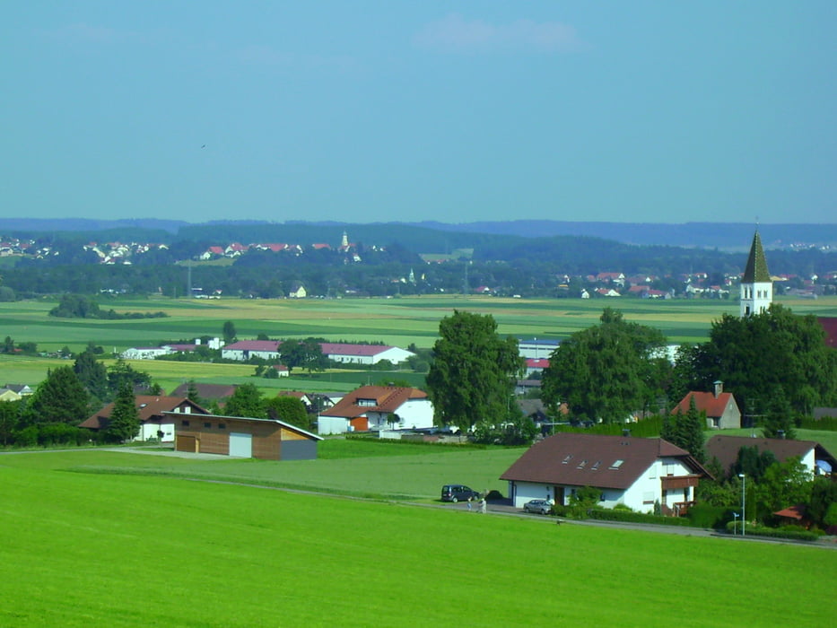
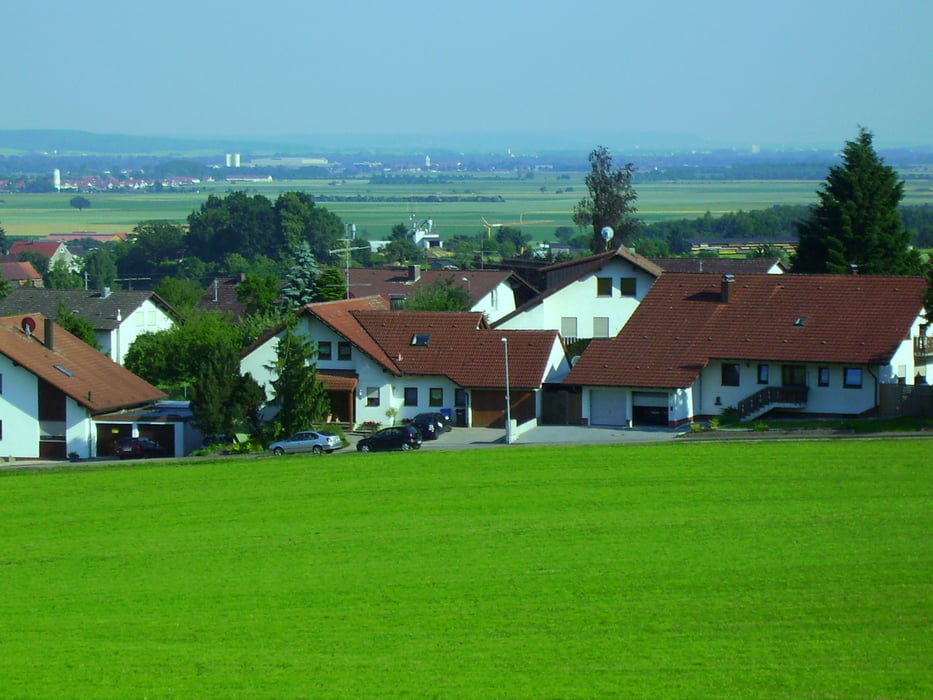
Tour gallery

Tour map and elevation profile

  • Open Street Map
  • Google
Minimum height 456 m Maximum height 617 m Detailed view

More about the tour author

painfully58
Member since 2008

Send private message

Comments

GPS tracks

Trackpoints
  • GPX / Garmin Map Source (gpx) download
  • TCX / Garmin Training Center® (tcx) download
  • CRS / Garmin Training Center® (crs) download
  • Google Earth (kml) download
  • G7ToWin (g7t) download
  • TTQV (trk) download
  • Overlay (ovl) download
  • Fugawi (txt) download
  • Kompass (DAV) Track (tk) download
  • Track data sheet (pdf) download
  • Original file of the author (gpx) download

More about the tour author

painfully58
Member since 2008

Send private message
Share track
Add to my favorites
Remove from my favorites
Edit tags
My score
Rate
Track: Steinberg Kirchberg Iller
Type: Mountain bike
Distance: 61,5 km
Evaluated on:
Duration:
Day(s)
Hour(s)
Minute(s)
Score: Landscape Fun factor Fitness Technique