


"Das ist aber weit nach Aschaffenburg" bewahrheitete sich überhaupt nicht. Fast auf direkten Weg über Berg und Tal durch die Wälder und Auen fuhren wir in Richtung Aschaffenburg. Nach der Überquerung der A3 war die Anstrengung vorbei und die Räder liefen fast nur noch bergab. Leider fanden wir keine passende Einfahrt in die Stadt auf Nebenstraßen.
Zurück nahmen wir die Bahn nach Lohr und dann nochmal 10 KM zurück zum Bauernhof.
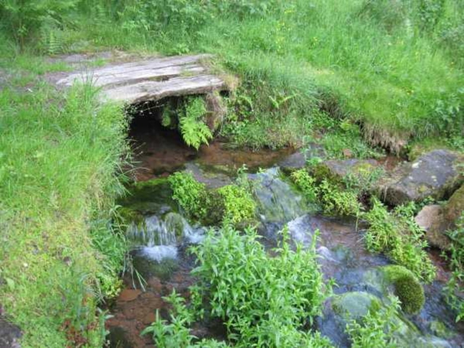
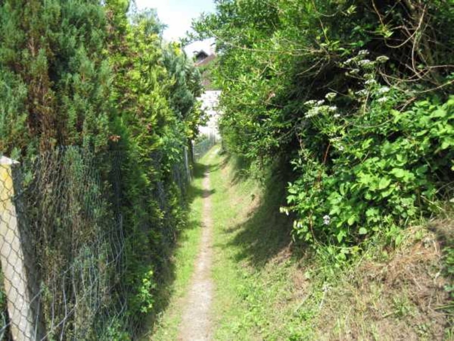
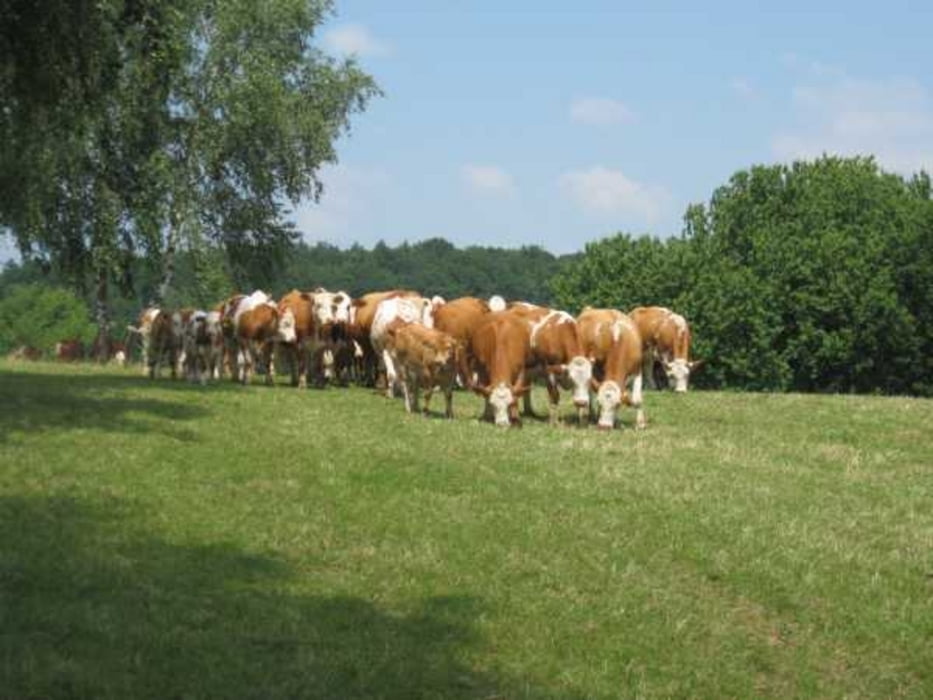
Tour gallery

Tour map and elevation profile
Minimum height 138 m
Maximum height 570 m
More about the tour author
|
|
tazzo |
Comments

Von der BAB 3 nach Marktheidenfeld und weiter nach Ansbach. Von hier aus bis nach Erlach auf kleinen Straßen bis nach Erlach. Ein guter Stützpunkt ist der Bauernhof Maintalhof.de
GPS tracks
Trackpoints-
GPX / Garmin Map Source (gpx) download
-
TCX / Garmin Training Center® (tcx) download
-
CRS / Garmin Training Center® (crs) download
-
Google Earth (kml) download
-
G7ToWin (g7t) download
-
TTQV (trk) download
-
Overlay (ovl) download
-
Fugawi (txt) download
-
Kompass (DAV) Track (tk) download
-
Track data sheet (pdf) download
-
Original file of the author (gpx) download
More about the tour author
|
|
tazzo |
Add to my favorites
Remove from my favorites
Edit tags
Open track
My score
Rate