


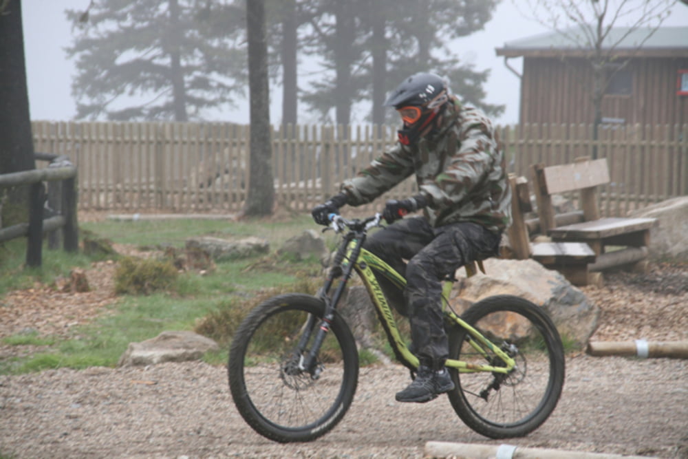
Die Tour beginnt an der Pension Winkel geht dann über den Sportplatz, Hasselkopfloipe durch den Wald, dann genau am Umkehrpunkt der Loipe Richtung Hohegeiss den Berg hinauf. Links auf der waldstr. ca 300m, dann rechts Schotterweg nachher Waldweg Richtung Hohegeiß (tolle Aussicht auf den Brocken dann B4 queren und kleiner Walweg abwärts Richtung Sorge. In Sorge ca 1km auf der B242 dann rechts abbiegen ins Naturschutzgebiet Bodetal. Endpunkt ist das Hotel Harzidyll
Further information at
http://www.harzidyll.deTour gallery

Tour map and elevation profile
Minimum height 477 m
Maximum height 620 m
More about the tour author
|
|
harzidyll |
Comments

GPS tracks
Trackpoints-
GPX / Garmin Map Source (gpx) download
-
TCX / Garmin Training Center® (tcx) download
-
CRS / Garmin Training Center® (crs) download
-
Google Earth (kml) download
-
G7ToWin (g7t) download
-
TTQV (trk) download
-
Overlay (ovl) download
-
Fugawi (txt) download
-
Kompass (DAV) Track (tk) download
-
Track data sheet (pdf) download
-
Original file of the author (tcx) download
More about the tour author
|
|
harzidyll |
Add to my favorites
Remove from my favorites
Edit tags
Open track
My score
Rate