


Eine Fahrt auf den Mont Aigual vom Campingplatz in Anduze.
Über die D 907 geht es Richtung St. André de Valborgne / Florac über St. Jean du Gard - l'Estrechure - Saumane immer stetig bergauf. Herrlicher Ausblick auf die Corniche !
Hinter St. André de Valborgne (zwei nette Cafes am Ende des Ortes und sehr leckere Croissants im Ort) links halten auf der 907 bis zum Abzweig Mont Aigual (D 19). Über den Col de Salidés ca. 1000 m geht es in einer steilen Abfahrt wieder herunter auf ca. 800m und man sieht von oben wieder die Straße die Richtung Cabrillac wieder mit 9- 12 % nach oben geht auf etwa die gleiche Höhe. (Macht mich jedesmal wieder mürbe :-) )
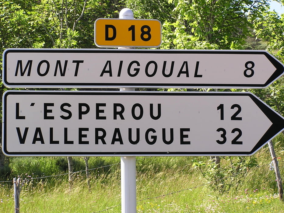
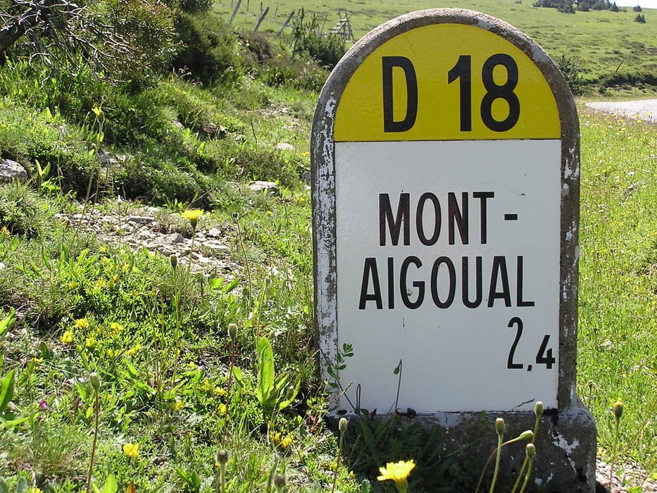
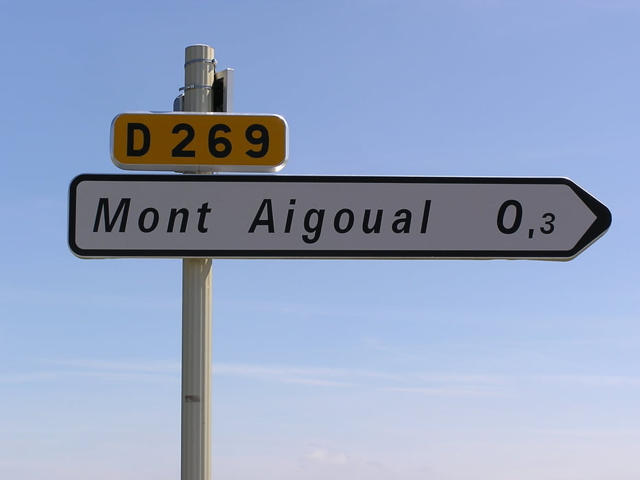
In Cabrilac links auf die D 18 abbiegen für 6,8 km. Dann noch einmal links abbiegen auf die D 269 für 300 Meter!
Oben angekommen ein herrlicher Blick über die Cevennen.
Tour gallery
Tour map and elevation profile
Minimum height 105 m
Maximum height 1562 m
More about the tour author

|
Hoarstmar |
Comments

GPS tracks
Trackpoints-
GPX / Garmin Map Source (gpx) download
-
TCX / Garmin Training Center® (tcx) download
-
CRS / Garmin Training Center® (crs) download
-
Google Earth (kml) download
-
G7ToWin (g7t) download
-
TTQV (trk) download
-
Overlay (ovl) download
-
Fugawi (txt) download
-
Kompass (DAV) Track (tk) download
-
Track data sheet (pdf) download
-
Original file of the author (gpx) download
More about the tour author
|
|
Hoarstmar |
Add to my favorites
Remove from my favorites
Edit tags
Open track
My score
Rate