Login

Forgot your login?

Cookies have to be accepted!
Your browser's cookie functionality is disabled. Please enable this functionality.

Not a member yet?

Register now
Login

Available for registred users only

Log in to use this feature.

Forgot your login?

Cookies have to be accepted!
Your browser's cookie functionality is disabled. Please enable this functionality.

Not a member yet?

Register now
Filter
Categories
Advanced filters
  • Distance (km)
  • Height
Save filters Reset filter

TrackRank

QRCode

Technical data

Distance460,8 km Height7320 m Way down7325 m Duration00:00 h:m Date04.07.2010
Scores Author Landscape Fun factor Fitness Technique

Statistics

1602 Views Scores 78 Downloads Average
Rate
  • Track data sheet
  • Directions
  • Downloads

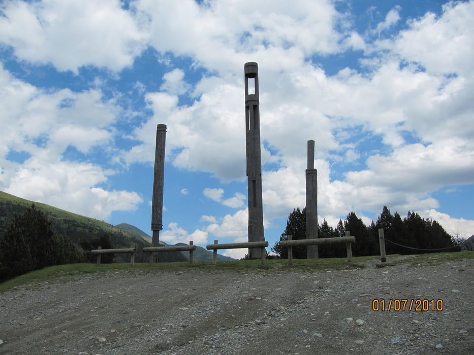
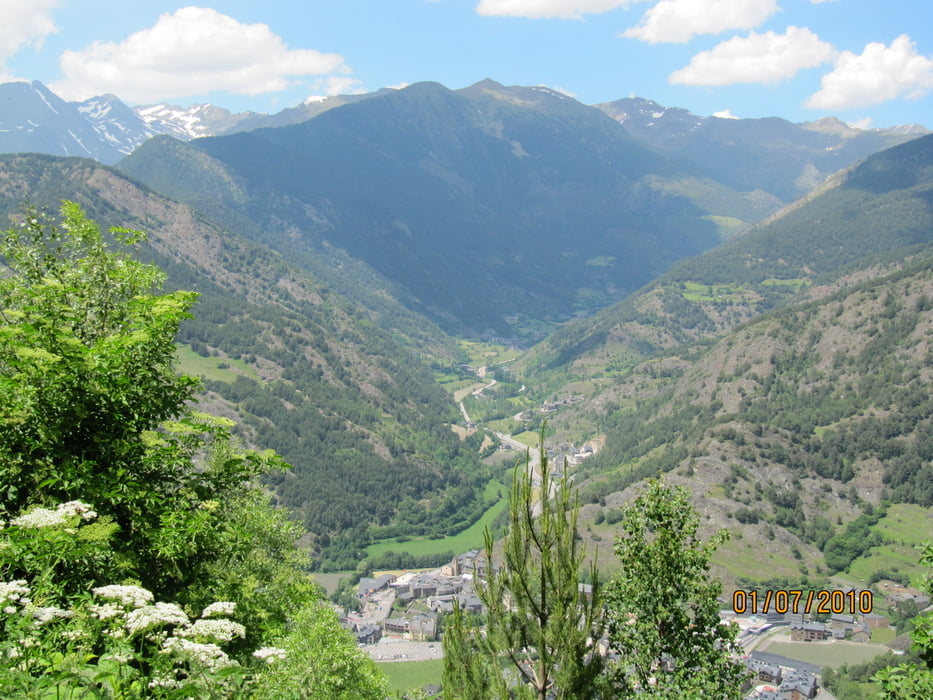
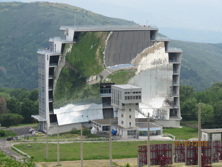
Eine sehr schöne, aber auch anstrengende Tour.

Die letzten 2 Stunden durch Frankreich hätten wir besser über Bundesstraße und Autobahn abgekürzt, da die kleinen fränzösischen Sträßchen einfach zu holprig sind und irgendwie nie enden wollen ;-)

Tour gallery

Tour map and elevation profile

  • Open Street Map
  • Google
Minimum height 62 m Maximum height 2366 m Detailed view

More about the tour author

Genoveva
Member since 2008

Send private message

Comments

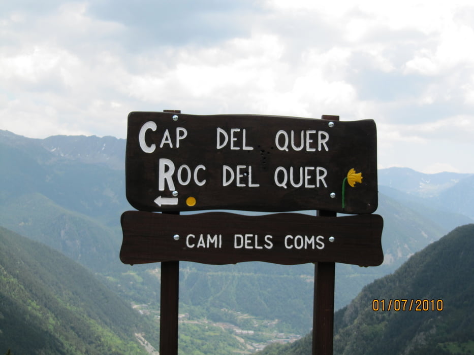
Ausgangspunkt war die Finka Paraiso in Darnius in Nordspanien

GPS tracks

Trackpoints
  • GPX / Garmin Map Source (gpx) download
  • TCX / Garmin Training Center® (tcx) download
  • CRS / Garmin Training Center® (crs) download
  • Google Earth (kml) download
  • G7ToWin (g7t) download
  • TTQV (trk) download
  • Overlay (ovl) download
  • Fugawi (txt) download
  • Kompass (DAV) Track (tk) download
  • Track data sheet (pdf) download
  • Original file of the author (gpx) download

More about the tour author

Genoveva
Member since 2008

Send private message
Share track
Add to my favorites
Remove from my favorites
Edit tags
My score
Rate
Track: Andorra
Type: Motorcycles
Distance: 460,8 km
Evaluated on:
Duration:
Day(s)
Hour(s)
Minute(s)
Score: Landscape Fun factor Fitness Technique