


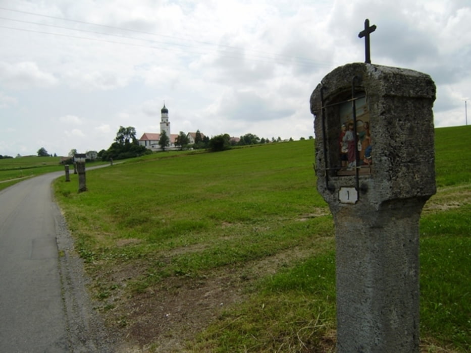
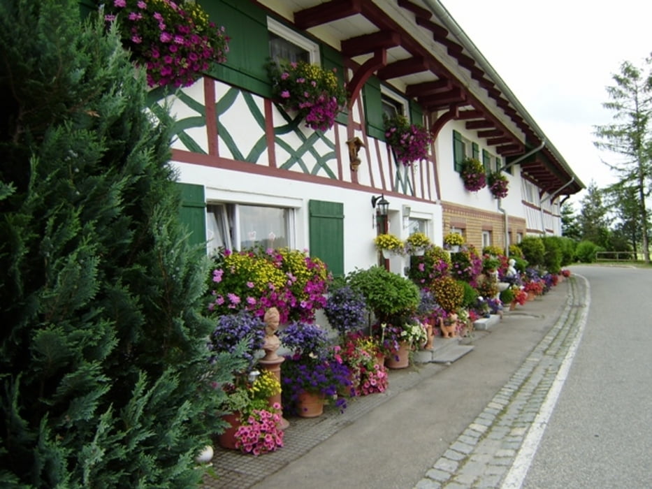
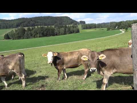
Start und Ziel in Dettingen an der Iller. Diese Tour ist auch für geübte Trekkingradfahrer geeignet - nicht für Rennradler - denn meine Gummikuh fährt auch auf Schotterwegen. Das kann auch für Motorradfahrer interessante Herausforderungen bedeuten!
Der Track ist fehlerkorrigiert.
Das Wetter: 26-28°C aufziehende Gewitterwolken - kein Wind - in der Nacht wird die Entladung stattfinden.
191-16-21072018
Further information at
http://www.schenie.deTour gallery
Tour map and elevation profile
Minimum height 542 m
Maximum height 787 m
More about the tour author
|
|
schenie |
Comments

Start und Ziel ist Dettingen
Oberschwaben ist immer eine Reise wert
191-16-21072018
GPS tracks
Trackpoints-
GPX / Garmin Map Source (gpx) download
-
TCX / Garmin Training Center® (tcx) download
-
CRS / Garmin Training Center® (crs) download
-
Google Earth (kml) download
-
G7ToWin (g7t) download
-
TTQV (trk) download
-
Overlay (ovl) download
-
Fugawi (txt) download
-
Kompass (DAV) Track (tk) download
-
Track data sheet (pdf) download
-
Original file of the author (gpx) download
More about the tour author
|
|
schenie |
Add to my favorites
Remove from my favorites
Edit tags
Open track
My score
Rate